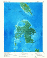
1973 Map of Bloodsworth Island
USGS Topo · Published 1975About this map
Bloodsworth Island dominates this 1970s orthophotomap, showing the landscape as it appeared while designated as a U S Naval Reservation. This unique perspective combines aerial photography with topographic data, revealing the intricate network of tidal guts and marshes including Bishops Head Marsh and Old Ground Marsh. The map details the fragile geography of the Chesapeake, where small settlements like Crockeron and Bishop cling to the northern reaches of Bishops Head near Tedious Creek. Navigation is a central theme, with the Honga River Light and Hooper Strait Light marking the dangerous transitions between the Honga River, Hooper Strait, and Tangier Sound. Genealogists may find interest in the isolated Bethany Ch Cem, while the inclusion of Holland Island and Pone Island documents landforms in an area defined by shifting shorelines and maritime activity.
Find a feature on this map
68 named features on this map. Tap any name to fly to it.
Don’t see what you’re looking for? This feature index may not catch every label — zoom into the map to look around manually.
Map Details
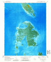
Editions of this 1973 Bloodsworth Island Map
2 editions found
Other maps of this area

1898 · St. Marys
USGS Topo · 1:125,000

1903 · Nanticoke
USGS Topo · 1:62,500

1903 · Bloodsworth Island
USGS Topo · 1:62,500

1903 · Deal Island
USGS Topo · 1:62,500

1905 · Crapo
USGS Topo · 1:62,500

1906 · St. Marys
USGS Topo · 1:125,000

1942 · Terrapin Sand Point
USGS Topo · 1:24,000

1942 · Kedges Straits
USGS Topo · 1:24,000

1942 · Bloodsworth Island
USGS Topo · 1:24,000

1942 · Richland Point
USGS Topo · 1:24,000