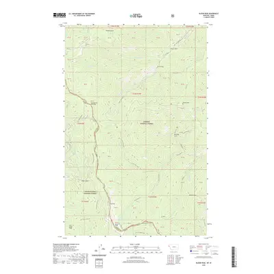
2020 Map of Bloom Peak
USGS Topo · Published 2020About this map
Bloom Peak and the high ridges of the Northern Rockies define this borderland where Shoshone and Sanders counties meet. This 2020 survey documents the intersection of the Kaniksu National Forest and Coeur d'Alene National Forest, a landscape carved by Jackson Gulch and Sorrel Gulch. The State Line itself serves as a major geographical marker, winding across summits like Eightyseven Mile Peak and McNeeley Peak.
Find a feature on this map
66 named features on this map. Tap any name to fly to it.
Don’t see what you’re looking for? This feature index may not catch every label — zoom into the map to look around manually.
Map Details
Editions of this 2020 Bloom Peak Map
This is the sole edition of this map. No revisions or reprints were ever made.
Other maps of this area

1932 · Trout Creek
USGS Topo · 1:125,000

1935 · Trout Creek
USGS Topo · 1:125,000

1936 · Trout Creek
USGS Topo · 1:125,000

1956 · Cooper Gulch
USGS Topo · 1:62,500

1956 · Wallace
USGS Topo · 1:250,000

1957 · Burke
USGS Topo · 1:62,500

1960 · Wallace
USGS Topo · 1:250,000
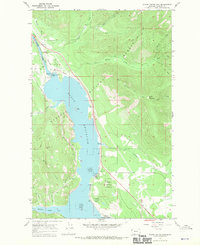
1966 · Noxon Rapids Dam
USGS Topo · 1:24,000
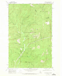
1966 · Taylor Peak
USGS Topo · 1:24,000
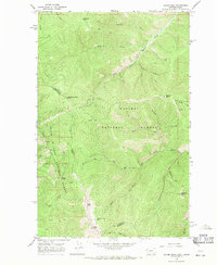
1966 · Bloom Peak
USGS Topo · 1:24,000