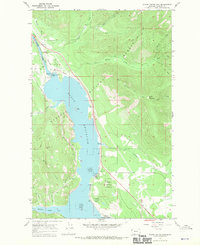
1966 Map of Noxon Rapids Dam
USGS Topo · Published 1970About this map
Noxon Reservoir dominates the Clark Fork Valley in this 1960s survey, illustrating the landscape transformations brought by the Noxon Rapids Dam. The map documents the relationship between the newly created impoundment and the infrastructure of the Northern Pacific railroad, which skirts the eastern shore. Small settlements like Stevens and Tuscor are visible alongside the river valley, providing points of reference for local historians studying the impacts of hydroelectric development on early 20th-century communities.
Find a feature on this map
29 named features on this map. Tap any name to fly to it.
Don’t see what you’re looking for? This feature index may not catch every label — zoom into the map to look around manually.
Map Details
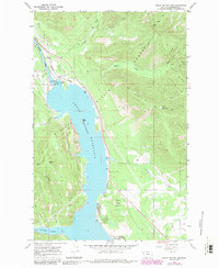
Editions of this 1966 Noxon Rapids Dam Map
2 editions found
Other maps of this area

1920 · Libby
USGS Topo · 1:125,000

1930 · Libby
USGS Topo · 1:125,000

1932 · Libby
USGS Topo · 1:125,000

1932 · Trout Creek
USGS Topo · 1:125,000

1935 · Trout Creek
USGS Topo · 1:125,000

1936 · Trout Creek
USGS Topo · 1:125,000

1956 · Wallace
USGS Topo · 1:250,000

1957 · Kalispell
USGS Topo · 1:250,000

1960 · Kalispell
USGS Topo · 1:250,000

1960 · Wallace
USGS Topo · 1:250,000