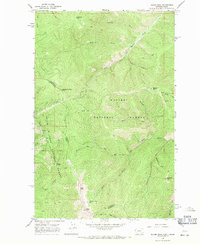
1966 Map of Bloom Peak
USGS Topo · Published 1971About this map
The Montana-Idaho state line divides this high-elevation landscape within the Kaniksu National Forest and Coeur D'Alene National Forest. Centered on the rugged interior of the Cabinet Mountains, the terrain is defined by a series of prominent summits including Bloom Peak, McNeeley Peak, and Eightyseven Mile Peak. Human presence in this mid-1960s survey is marked primarily by fire lookouts and resource management, evidenced by the Lookout Tower atop Minton Peak and two designated Heliports.
Find a feature on this map
36 named features on this map. Tap any name to fly to it.
Don’t see what you’re looking for? This feature index may not catch every label — zoom into the map to look around manually.
Map Details
Editions of this 1966 Bloom Peak Map
3 editions found
Other maps of this area

1932 · Trout Creek
USGS Topo · 1:125,000

1935 · Trout Creek
USGS Topo · 1:125,000

1936 · Trout Creek
USGS Topo · 1:125,000

1956 · Cooper Gulch
USGS Topo · 1:62,500

1956 · Wallace
USGS Topo · 1:250,000

1957 · Burke
USGS Topo · 1:62,500

1960 · Wallace
USGS Topo · 1:250,000
1966 · Noxon Rapids Dam
USGS Topo · 1:24,000
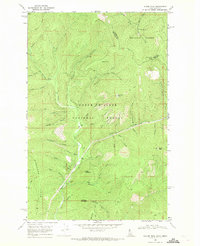
1966 · Taylor Peak
USGS Topo · 1:24,000
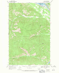
1966 · Noxon
USGS Topo · 1:24,000