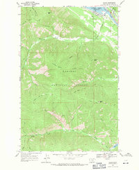
1966 Map of Noxon
USGS Topo · Published 1971About this map
The settlement of Noxon serves as the primary outpost on the Clark Fork in this mid-1960s study of northwestern Montana. Situated along the banks of the Cabinet Gorge Reservoir, the community is surrounded by the deep drainages and high ridgelines of the Kaniksu National Forest. The landscape is defined by its verticality, with prominent landmarks such as Loveland Peak and Huckleberry Mountain rising above a complex system of gulches and creeks.
Find a feature on this map
26 named features on this map. Tap any name to fly to it.
Don’t see what you’re looking for? This feature index may not catch every label — zoom into the map to look around manually.
Map Details
Editions of this 1966 Noxon Map
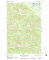
2 editions found
Other maps of this area

1920 · Libby
USGS Topo · 1:125,000

1930 · Libby
USGS Topo · 1:125,000

1932 · Libby
USGS Topo · 1:125,000

1932 · Trout Creek
USGS Topo · 1:125,000

1935 · Trout Creek
USGS Topo · 1:125,000

1936 · Trout Creek
USGS Topo · 1:125,000

1956 · Wallace
USGS Topo · 1:250,000

1957 · Kalispell
USGS Topo · 1:250,000

1960 · Kalispell
USGS Topo · 1:250,000

1960 · Wallace
USGS Topo · 1:250,000