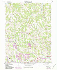
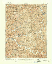
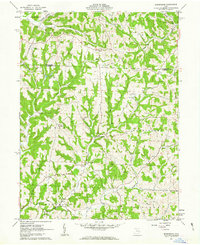
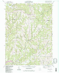
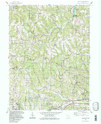
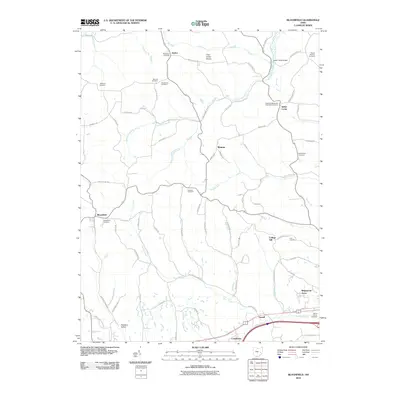
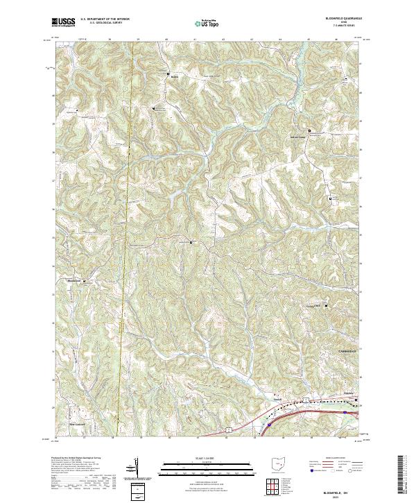
1962 Map of Bloomfield
USGS Topo · Published 1984About this map
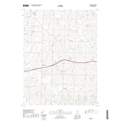
Muskingum College and the surrounding campus in New Concord anchor the southwestern corner of this survey, which captures the rural transition of eastern Ohio during the early 1960s. The landscape is defined by the winding drainages of Peters Creek and Sarchett Run, where family-named landmarks like the Hawthorne Cem and Sarchett Run Cem offer significant points of interest for local genealogy. Industrial activity is visible through a prominent Strip Mine and various quarries, contrasting with the institutional presence of the John H Glenn High Sch. Transport and infrastructure are centered on the Baltimore and Ohio railroad corridor and the newly emerging Interstate system at Interchange 176. To the north, the terrain rises toward the Twin Sister Knobs, overlooking the waters of Wills Creek Lake and the high vantage point of the Bloomfield Lookout Tower.
Find a feature on this map
37 named features on this map. Tap any name to fly to it.
Don’t see what you’re looking for? This feature index may not catch every label — zoom into the map to look around manually.
Map Details
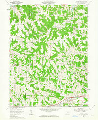
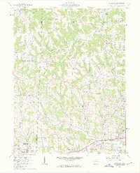
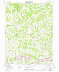
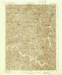
Editions of this 1962 Bloomfield Map
4 editions found
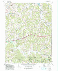
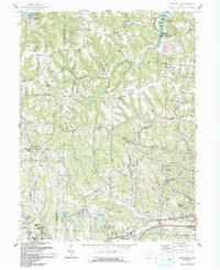
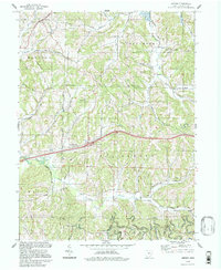
Historical Maps of Cambridge Through Time
26 maps found
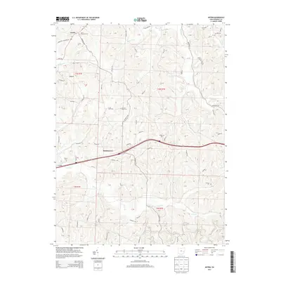
1909 Antrim
Guernsey County, OH
1911 Antrim
Guernsey County, OH
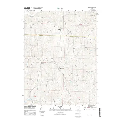
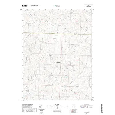
1961 Birmingham
Guernsey County, OH
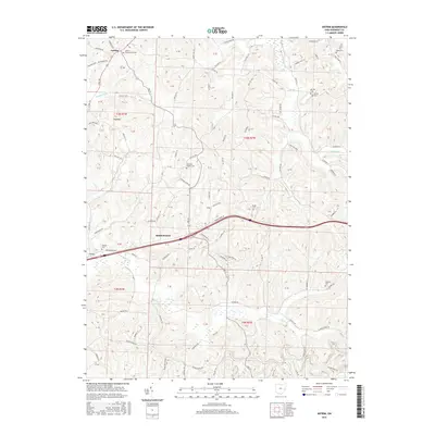
1962 Antrim
Guernsey County, OH
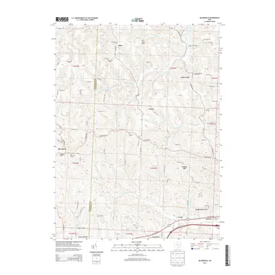
1962 Bloomfield
Guernsey County, OH
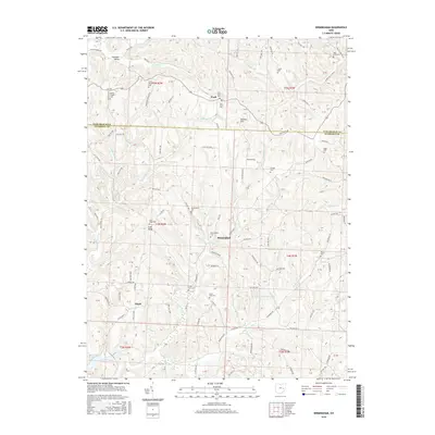
1963 Birmingham
Guernsey County, OH
1993 Antrim
Guernsey County, OH
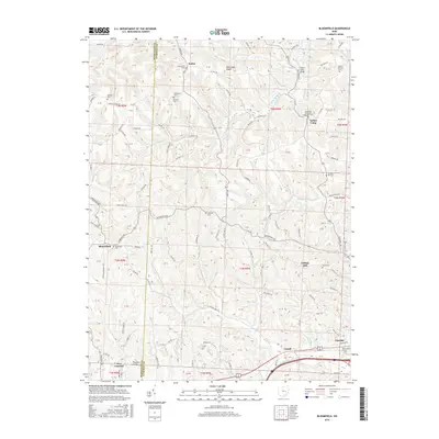
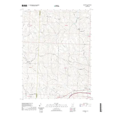
1993 Bloomfield
Guernsey County, OH
1994 Antrim
Guernsey County, OH
1994 Birmingham
Guernsey County, OH
1994 Bloomfield
Guernsey County, OH
2010 Antrim
Guernsey County, OH
2010 Birmingham
Guernsey County, OH
2010 Bloomfield
Guernsey County, OH
2013 Antrim
Guernsey County, OH
2013 Birmingham
Guernsey County, OH
2013 Bloomfield
Guernsey County, OH
2016 Antrim
Guernsey County, OH
2016 Birmingham
Guernsey County, OH
2016 Bloomfield
Guernsey County, OH
2019 Antrim
Guernsey County, OH
2019 Birmingham
Guernsey County, OH
2019 Bloomfield
Guernsey County, OH

2023 Antrim
Guernsey County, OH
2023 Birmingham
Guernsey County, OH
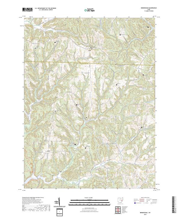
2023 Bloomfield
Guernsey County, OH