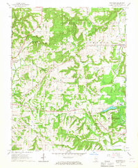
1966 Map of Bloomfield
USGS Topo · Published 1967About this map
Illinois State Prison (Vienna Branch) stands as a major institutional landmark in this corner of Johnson County, occupying a significant footprint south of Simpson. The landscape is a complex network of narrow creek valleys and ridges within the Shawnee National Forest, where small rural communities like Bloomfield and Grantsburg serve as local anchors. The area's settlement history is documented through numerous family and community burial grounds, such as Odd Fellows Cem, Hazlett Cem, and Ledbetter Cem, which are often located near local houses of worship like Pleasant Ridge Ch and Concord Ch.
Find a feature on this map
46 named features on this map. Tap any name to fly to it.
Don’t see what you’re looking for? This feature index may not catch every label — zoom into the map to look around manually.
Map Details
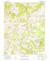
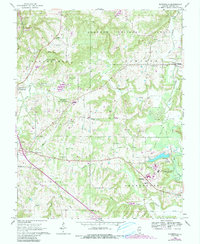
Editions of this 1966 Bloomfield Map
3 editions found
Other maps of this area

1917 · Brownfield
USGS Topo · 1:62,500

1918 · Vienna
USGS Topo · 1:62,500

1919 · Vienna
USGS Topo · 1:62,500

1925 · Marion
USGS Topo · 1:62,500

1925 · Harrisburg
USGS Topo · 1:62,500

1939 · Harrisburg
USGS Topo · 1:62,500

1940 · Marion
USGS Topo · 1:62,500

1942 · Vienna
USGS Topo · 1:62,500

1949 · Paducah
USGS Topo · 1:250,000

1950 · Paducah
USGS Topo · 1:250,000