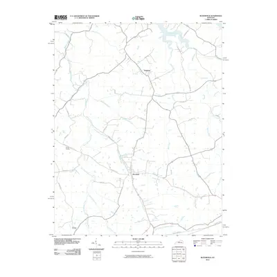
2010 Map of Bloomfield
USGS Topo · Published 2010About this map
Bloomfield serves as the central hub of this Nelson County landscape, where the confluence of several branches and forks defines the local geography. The settlement is positioned at the junction of Chaplin Rd and Taylorsville Rd, surrounded by a dense network of watercourses including Hinkle Creek and the winding East Fork Simpson Creek. Further north, the smaller community of Wakefield sits along the road to Ashes Creek, illustrating the dispersed residential pattern of this agricultural region.
Find a feature on this map
38 named features on this map. Tap any name to fly to it.
Don’t see what you’re looking for? This feature index may not catch every label — zoom into the map to look around manually.
Map Details
Editions of this 2010 Bloomfield Map
This is the sole edition of this map. No revisions or reprints were ever made.
Other maps of this area

1923 · Waddy
USGS Topo · 1:48,000

1925 · Mount Eden
USGS Topo · 1:48,000

1927 · Mount Eden
USGS Topo · 1:62,500

1929 · Taylorsville
USGS Topo · 1:62,500

1951 · Waterford
USGS Topo · 1:24,000

1952 · Chaplin
USGS Topo · 1:24,000

1953 · Brush Grove
USGS Topo · 1:24,000

1953 · Maud
USGS Topo · 1:24,000

1953 · Bardstown
USGS Topo · 1:24,000

1953 · Bloomfield
USGS Topo · 1:24,000