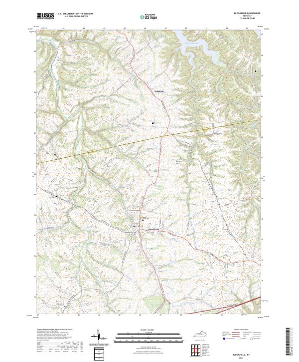
2022 Map of Bloomfield
USGS Topo · Published 2022About this map
The settlement of Bloomfield serves as the central hub of this northern Nelson County landscape, situated at the junction of several key regional routes including Chaplin Rd and Taylorsville Rd. The terrain is defined by a dense network of winding watercourses such as Simpson Creek and W Fork Simpson Cr, which carve through the land south of Taylorsville Lake. Significant family and community history is preserved in several small burial grounds, including Maple Grove Cem, Rogers Cem, and Wilkinson Cem, which dot the hillsides near the smaller hamlet of Wakefield. In the southern portion of the quadrangle, the modern transit corridor of the Bluegrass Pkwy cuts across the drainage of Hungry Run, providing a stark contrast to the older network of county roads and named family landmarks like Fairfield Hill.
Find a feature on this map
78 named features on this map. Tap any name to fly to it.
Don’t see what you’re looking for? This feature index may not catch every label — zoom into the map to look around manually.
Map Details
Editions of this 2022 Bloomfield Map
This is the sole edition of this map. No revisions or reprints were ever made.
Other maps of this area

1923 · Waddy
USGS Topo · 1:48,000

1925 · Mount Eden
USGS Topo · 1:48,000

1927 · Mount Eden
USGS Topo · 1:62,500

1929 · Taylorsville
USGS Topo · 1:62,500

1951 · Waterford
USGS Topo · 1:24,000

1952 · Chaplin
USGS Topo · 1:24,000

1953 · Brush Grove
USGS Topo · 1:24,000

1953 · Maud
USGS Topo · 1:24,000

1953 · Bardstown
USGS Topo · 1:24,000

1953 · Bloomfield
USGS Topo · 1:24,000