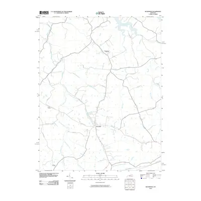
Loading...
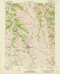
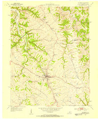
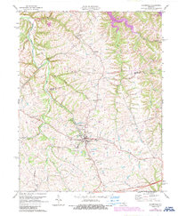
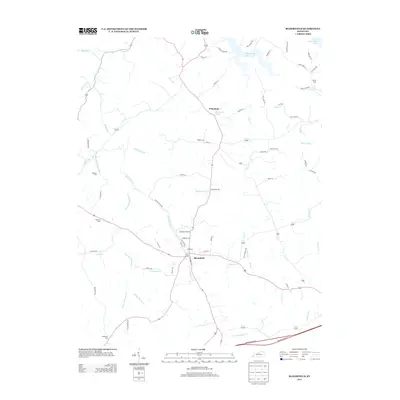
Loading map...1953 Map of Bloomfield
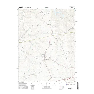
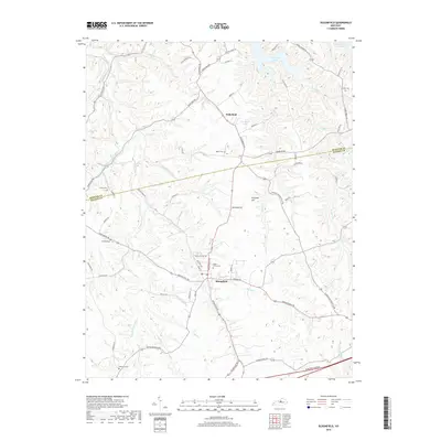
USGS Topo · Published 1969About this map
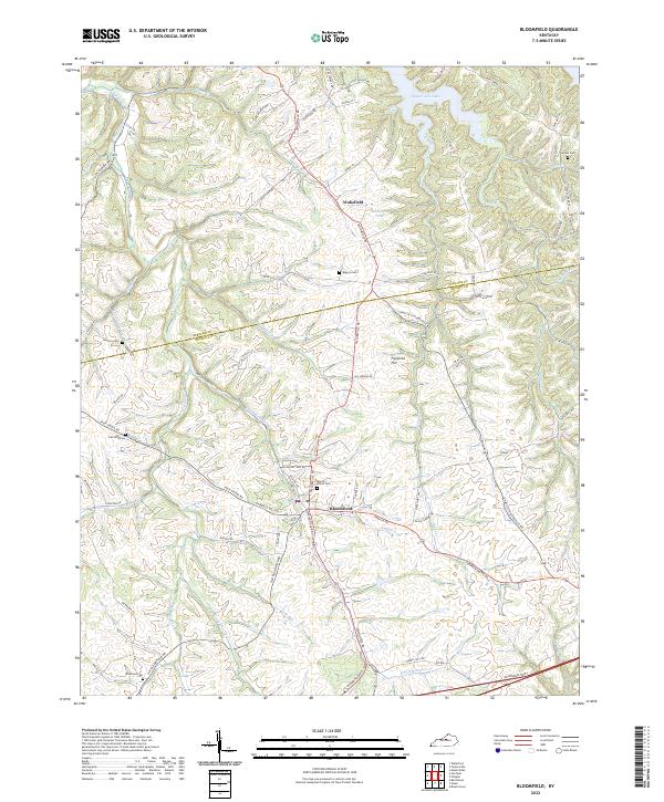
The town of Bloomfield serves as the focal point of this mid-century survey, situated at the confluence of several vital watercourses including Hinkle Cr and Simpson Creek. The surrounding landscape is defined by its agricultural character and a dense network of family-named landmarks and rural institutions. North of the main settlement, the community of Wakefield is marked by the Wakefield Sch and nearby Mt Zion Ch, while the Spencer Co Nelson Co boundary line cuts across the northern ridges.
Find a feature on this map
29 named features on this map. Tap any name to fly to it.
Don’t see what you’re looking for? This feature index may not catch every label — zoom into the map to look around manually.
Map Details
Date Portrayed1953
Date Published1969
PublisherU.S. Geological Survey
Map TypeTopographic
Scale1:24,000
Physical Dimensions22 x 27 inches
Editions of this 1953 Bloomfield Map
2 editions found
Historical Maps of Bloomfield Through Time
7 maps found
Featured Locations
Source Details
SourceU.S. Geological Survey
CopyrightPublic Domain