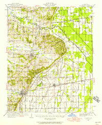
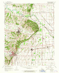
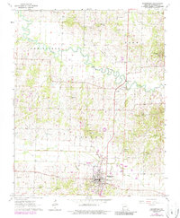
1949 Map of Bloomfield
USGS Topo · Published 1958About this map
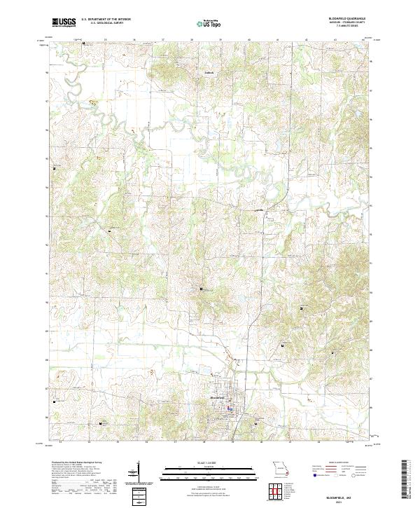
Bloomfield serves as the focal point of this mid-century survey, surrounded by a landscape defined by complex drainage management and a dense network of early rural schools. The map reveals an extensive system of man-made waterways like Dudley Main Ditch and District No 12 that channel water across the lowlands surrounding Clines Island. This infrastructure reflects the region's transition into intensive agriculture, supported by a web of rail lines including the St Louis Southwestern RR and the Missouri Pacific RR.
Find a feature on this map
120 named features on this map. Tap any name to fly to it.
Don’t see what you’re looking for? This feature index may not catch every label — zoom into the map to look around manually.
Map Details
Editions of this 1949 Bloomfield Map
This is the sole edition of this map. No revisions or reprints were ever made.
Historical Maps of Dexter Through Time
9 maps found
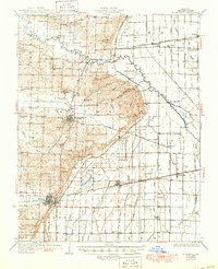
1934 Bloomfield
Stoddard County, MO
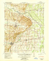
1939 Bloomfield
Stoddard County, MO
1949 Bloomfield
Stoddard County, MO
1963 Bloomfield
Stoddard County, MO
1963 Bloomfield
Stoddard County, MO
2012 Bloomfield
Stoddard County, MO
2015 Bloomfield
Stoddard County, MO
2017 Bloomfield
Stoddard County, MO
2021 Bloomfield
Stoddard County, MO