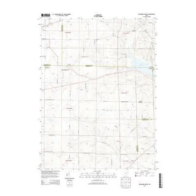
2013 Map of Blooming Grove
USGS Topo · Published 2013About this map
Blooming Grove sits at the heart of this landscape where the headwaters of several major Ohio drainages converge. The Olentangy River begins its southward course here, while the Clear Fork Mohican River and its various tributaries, including Cedar Fork and Rocky Fork, carve through the surrounding farmland. The presence of the Clear Fork Reservoir in the eastern section of the map highlights the area's role in regional water management. Small crossroads settlements like Steam Corners and Jugs Corners illustrate the long-standing rural community structure of the region.
Find a feature on this map
70 named features on this map. Tap any name to fly to it.
Don’t see what you’re looking for? This feature index may not catch every label — zoom into the map to look around manually.
Map Details
Editions of this 2013 Blooming Grove Map
This is the sole edition of this map. No revisions or reprints were ever made.
Other maps of this area

1913 · Mount Gilead
USGS Topo · 1:62,500

1915 · Bucyrus
USGS Topo · 1:62,500

1915 · Crestline
USGS Topo · 1:62,500

1915 · Shauck
USGS Topo · 1:62,500

1916 · Mount Gilead
USGS Topo · 1:62,500

1943 · Shauck
USGS Topo · 1:62,500

1943 · Bucyrus
USGS Topo · 1:62,500

1943 · Crestline
USGS Topo · 1:62,500

1943 · Mount Gilead
USGS Topo · 1:62,500

1950 · Marion
USGS Topo · 1:250,000