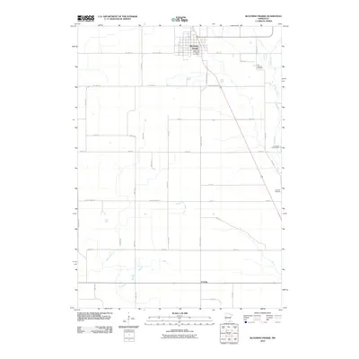
2010 Map of Blooming Prairie
USGS Topo · Published 2010About this map
Blooming Prairie serves as the primary hub of this Steele County landscape, where the local street grid intersects with the Blooming Prairie Post Office. The surrounding terrain is defined by a precise section-line road network that facilitates the agricultural economy of southern Minnesota. Outside of the main town, smaller clusters like Corning and sites such as the Brookside Campground along the winding waterways provide localized points of interest for historical researchers. Genealogical details are anchored by established burial grounds, including the First Lutheran Cemetery to the north and the Udolpho Cemetery further south, reflecting the community’s settlement patterns and heritage. The map documents a snapshot of the region's rural character and developed infrastructure, highlighting the relationship between these small settlements and the connecting roadways that unify the prairie landscape.
Find a feature on this map
6 named features on this map. Tap any name to fly to it.
Don’t see what you’re looking for? This feature index may not catch every label — zoom into the map to look around manually.
Map Details
Editions of this 2010 Blooming Prairie Map
This is the sole edition of this map. No revisions or reprints were ever made.
Other maps of this area

1954 · Hayward
USGS Topo · 1:62,500

1954 · Austin
USGS Topo · 1:62,500

1954 · Mason City
USGS Topo · 1:250,000

1957 · Mason City
USGS Topo · 1:250,000

1958 · Mason City
USGS Topo · 1:250,000

1966 · Waltham
USGS Topo · 1:24,000

1966 · Hayfield NW
USGS Topo · 1:24,000

1967 · Steele Center
USGS Topo · 1:24,000

1967 · Bixby
USGS Topo · 1:24,000

1967 · Blooming Prairie
USGS Topo · 1:24,000