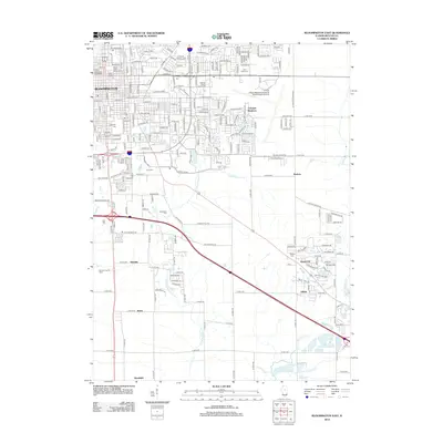
2012 Map of Bloomington East
USGS Topo · Published 2012About this map
Bloomington and its eastern suburbs are documented here at a time of significant institutional and residential development. The urban landscape is anchored by Illinois Wesleyan University and the Mark Evans Observatory, reflecting the city's role as an educational hub. To the east, the Illinois Regional Airport at Bloomington-Normal and the McLean County Fairground occupy large tracts, illustrating the shift from dense city blocks to major regional infrastructure and community event spaces.
Find a feature on this map
112 named features on this map. Tap any name to fly to it.
Don’t see what you’re looking for? This feature index may not catch every label — zoom into the map to look around manually.
Map Details
Editions of this 2012 Bloomington East Map
This is the sole edition of this map. No revisions or reprints were ever made.
Other maps of this area

1926 · Normal
USGS Topo · 1:62,500

1927 · Danvers
USGS Topo · 1:62,500

1930 · Danvers
USGS Topo · 1:62,500

1930 · Normal
USGS Topo · 1:62,500

1949 · Mc Lean
USGS Topo · 1:62,500

1951 · McLean
USGS Topo · 1:62,500

1951 · Le Roy
USGS Topo · 1:62,500

1958 · Peoria
USGS Topo · 1:250,000

1961 · Peoria
USGS Topo · 1:250,000

1963 · Peoria
USGS Topo · 1:250,000