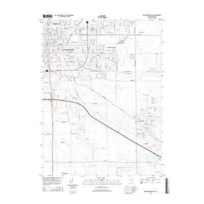
2015 Map of Bloomington East
USGS Topo · Published 2015About this map
Bloomington and Normal anchor the northwestern corner of this landscape, where the urban street grid gives way to the expansive agricultural layout of McLean County. This survey captures the transition from dense campus environments like Illinois Wesleyan Univ and the residential blocks of Colonial Meadows to the southeastward sprawl of the Central Illinois Regional Airport at Bloomington-Normal. Moving south and east, the map reveals a series of smaller settlements and historical points of interest, including Hendrix, Shamrock, and Downs. The drainage patterns of Kickapoo Cr and Little Kickapoo Cr dictate the local topography, carving through the till plains. For genealogists, the map is particularly useful for locating several burial grounds such as Evergreen Cem, Woodlawn Cem, and Diamond Grove Cem, which dot the rural countryside.
Find a feature on this map
91 named features on this map. Tap any name to fly to it.
Don’t see what you’re looking for? This feature index may not catch every label — zoom into the map to look around manually.
Map Details
Editions of this 2015 Bloomington East Map
This is the sole edition of this map. No revisions or reprints were ever made.
Other maps of this area

1926 · Normal
USGS Topo · 1:62,500

1927 · Danvers
USGS Topo · 1:62,500

1930 · Danvers
USGS Topo · 1:62,500

1930 · Normal
USGS Topo · 1:62,500

1949 · Mc Lean
USGS Topo · 1:62,500

1951 · McLean
USGS Topo · 1:62,500

1951 · Le Roy
USGS Topo · 1:62,500

1958 · Peoria
USGS Topo · 1:250,000

1961 · Peoria
USGS Topo · 1:250,000

1963 · Peoria
USGS Topo · 1:250,000