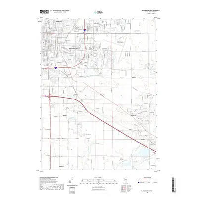
2021 Map of Bloomington East
USGS Topo · Published 2021About this map
Bloomington and Normal anchor this landscape, showcasing the dense street grids and institutional landmarks of central Illinois. The campus of Illinois Wesleyan University occupies a prominent position near the urban center, while the Central Illinois Regional Airport at Bloomington-Normal defines the eastern periphery with its extensive runways and facilities. Beyond the city limits, the terrain transitions to a rural pattern characterized by small named clusters and numerous cemeteries. Genealogy researchers will find several burial grounds such as Evergreen Memorial Cem, Bishop Cem, and Diamond Grove Cem. The map tracks the winding course of Little Kickapoo Cr and Sugar Cr as they move through both developed neighborhoods and open fields. Transit routes and rail lines connect outlying points like Hendrix, Gillum, and Downs, reflecting the regional network that supported these agricultural and commuter communities.
Find a feature on this map
134 named features on this map. Tap any name to fly to it.
Don’t see what you’re looking for? This feature index may not catch every label — zoom into the map to look around manually.
Map Details
Editions of this 2021 Bloomington East Map
This is the sole edition of this map. No revisions or reprints were ever made.
Other maps of this area

1926 · Normal
USGS Topo · 1:62,500

1927 · Danvers
USGS Topo · 1:62,500

1930 · Danvers
USGS Topo · 1:62,500

1930 · Normal
USGS Topo · 1:62,500

1949 · Mc Lean
USGS Topo · 1:62,500

1951 · McLean
USGS Topo · 1:62,500

1951 · Le Roy
USGS Topo · 1:62,500

1958 · Peoria
USGS Topo · 1:250,000

1961 · Peoria
USGS Topo · 1:250,000

1963 · Peoria
USGS Topo · 1:250,000