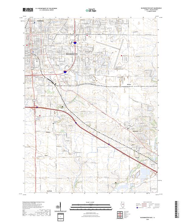
2024 Map of Bloomington East
USGS Topo · Published 2024About this map
Bloomington and Normal serve as the urban anchor for this portion of McLean County, where the dense street grids of the twin cities transition into the expansive agricultural landscapes of central Illinois. The northern portion of the sheet is defined by the campus of Illinois Wesleyan University and several significant burial grounds, including the historic Evergreen Memorial Cem and East Lawn Cem. The Central Illinois Regional Airport at Bloomington-Normal occupies a large footprint to the east, illustrating the region's modern infrastructure.
Find a feature on this map
85 named features on this map. Tap any name to fly to it.
Don’t see what you’re looking for? This feature index may not catch every label — zoom into the map to look around manually.
Map Details
Editions of this 2024 Bloomington East Map
This is the sole edition of this map. No revisions or reprints were ever made.
Historical Maps of Burns Through Time
20 maps found

1949 Mc Lean
McLean County, IL
1970 Normal West
McLean County, IL
1981 Bloomington East
McLean County, IL
1981 Bloomington West
McLean County, IL
1981 Funks Grove
McLean County, IL
1981 Holder
McLean County, IL
1981 Merna
McLean County, IL
1981 Normal East
McLean County, IL
1983 Farmer City North
McLean County, IL
1995 Normal West
McLean County, IL
1998 Bloomington East
McLean County, IL
1998 Normal East
McLean County, IL
2024 Bloomington East
McLean County, IL
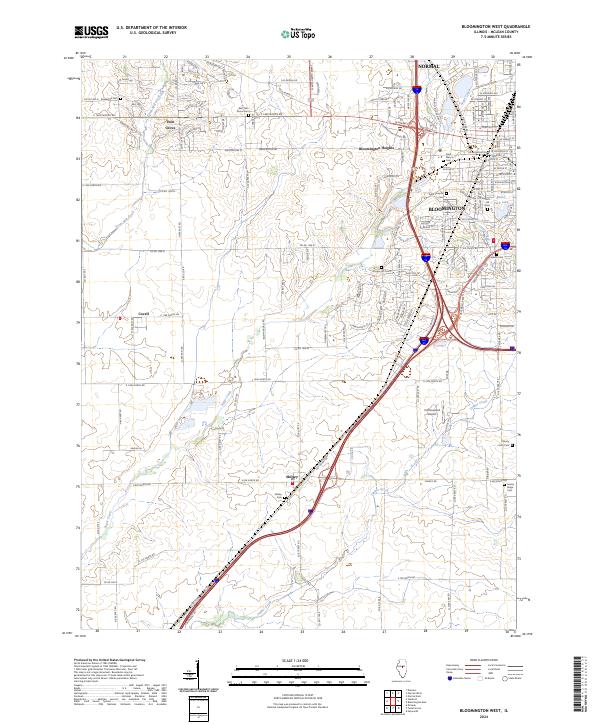
2024 Bloomington West
McLean County, IL
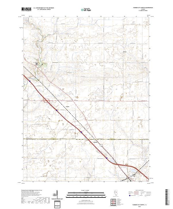
2024 Farmer City North
McLean County, IL
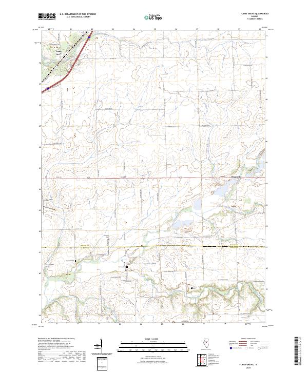
2024 Funks Grove
McLean County, IL
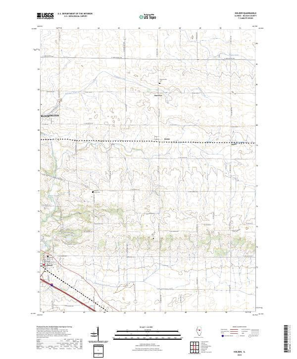
2024 Holder
McLean County, IL
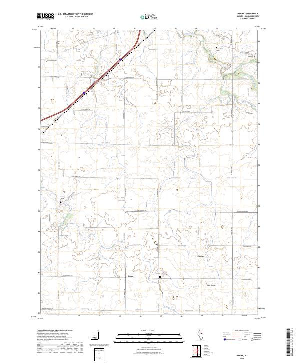
2024 Merna
McLean County, IL
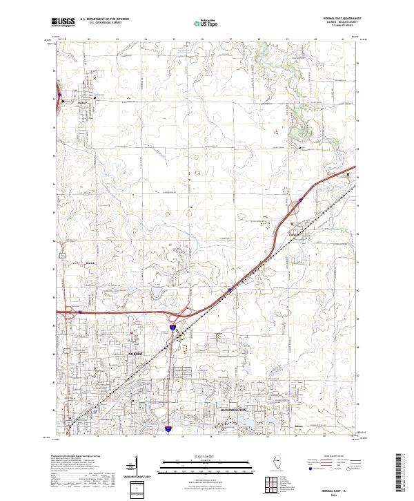
2024 Normal East
McLean County, IL
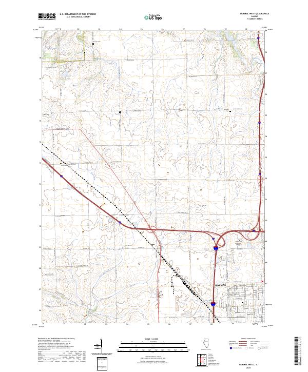
2024 Normal West
McLean County, IL