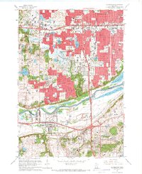
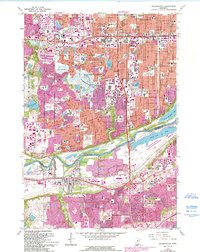
1967 Map of Bloomington
USGS Topo · Published 1969About this map
Bloomington and its neighbors Richfield and Edina undergo rapid suburban expansion during the late 1960s, a period marked by dense residential development pushing toward the Minnesota River. While much of the landscape is dominated by new neighborhoods and numerous parks like Adams Hill Park and Donaldson Park, the area's industrial and historical roots remain visible. Port Cargill stands as a significant river terminal, while the Chicago and North Western railroad corridor facilitates regional transport.
Find a feature on this map
92 named features on this map. Tap any name to fly to it.
Don’t see what you’re looking for? This feature index may not catch every label — zoom into the map to look around manually.
Map Details
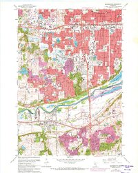
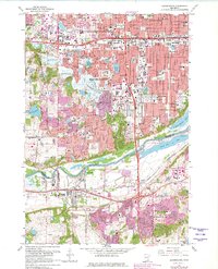
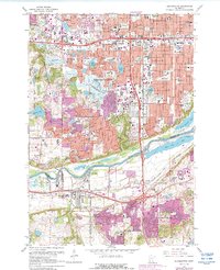
Editions of this 1967 Bloomington Map
5 editions found
Other maps of this area

1896 · Minneapolis
USGS Topo · 1:62,500

1896 · St. Paul
USGS Topo · 1:62,500

1901 · Minneapolis
USGS Topo · 1:62,500

1951 · St. Paul West
USGS Topo · 1:24,000

1951 · St. Paul SW
USGS Topo · 1:24,000

1951 · St. Paul
USGS Topo · 1:62,500

1952 · Minneapolis South
USGS Topo · 1:24,000

1953 · Saint Paul
USGS Topo · 1:250,000

1954 · Hopkins
USGS Topo · 1:24,000

1954 · Bloomington
USGS Topo · 1:24,000