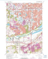
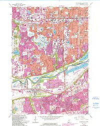
1967 Map of Bloomington
USGS Topo · Published 1988About this map
The Minnesota River serves as the dividing line between the developing suburbs of Bloomington and Burnsville during this period of mid-century expansion. The landscape is a transition from the industrial activity at Port Cargill to the residential growth spreading south from Edina and Richfield. Substantial infrastructure projects are evident, including the Southtown Shopping Center and a complex network of schools like Kennedy High Sch and Indian Mounds Sch.
Find a feature on this map
102 named features on this map. Tap any name to fly to it.
Don’t see what you’re looking for? This feature index may not catch every label — zoom into the map to look around manually.
Map Details
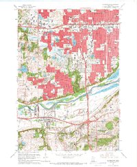
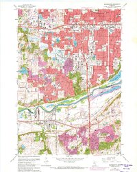
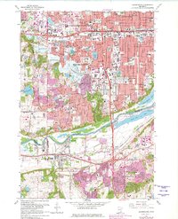
Editions of this 1967 Bloomington Map
5 editions found
Other maps of this area

1896 · Minneapolis
USGS Topo · 1:62,500

1896 · St. Paul
USGS Topo · 1:62,500

1901 · Minneapolis
USGS Topo · 1:62,500

1951 · St. Paul West
USGS Topo · 1:24,000

1951 · St. Paul SW
USGS Topo · 1:24,000

1951 · St. Paul
USGS Topo · 1:62,500

1952 · Minneapolis South
USGS Topo · 1:24,000

1953 · Saint Paul
USGS Topo · 1:250,000

1954 · Hopkins
USGS Topo · 1:24,000

1954 · Bloomington
USGS Topo · 1:24,000