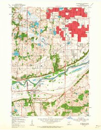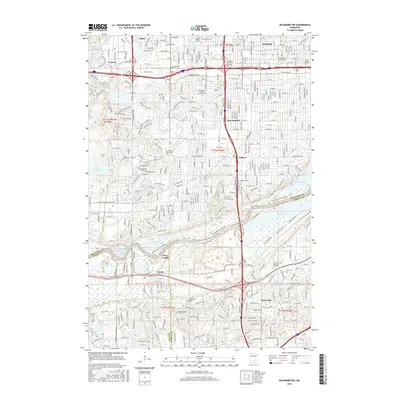
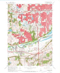
1967 Map of Bloomington
USGS Topo · Published 1993About this map
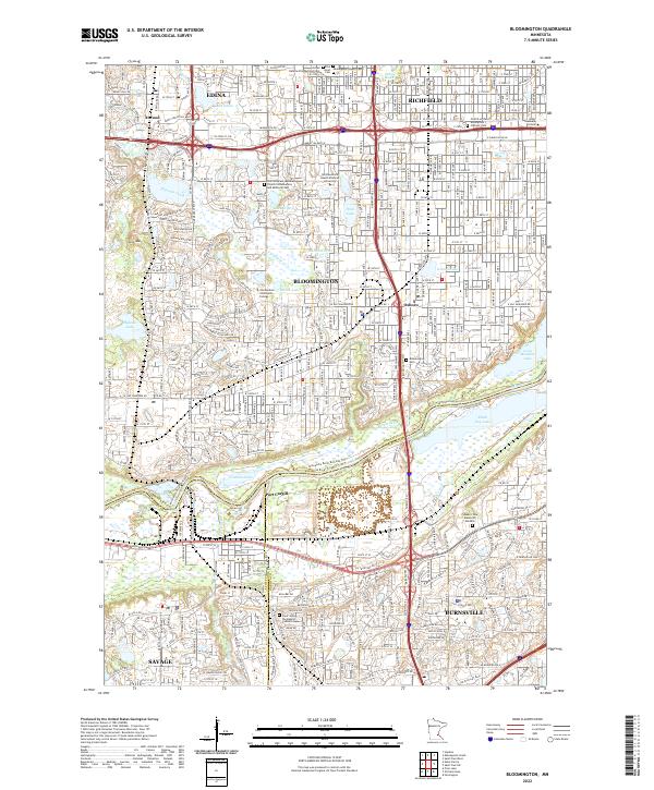
The Minnesota River corridor serves as the dramatic southern boundary of this landscape, separating the developing suburban grids of Bloomington, Edina, and Richfield from the rising heights of Burnsville and Savage. This era of growth is documented through the density of new schools and shopping centers, yet older landmarks like the Bloomington Cem and Minnesota Masonic Home persist. Industrial activity centers around the river, most notably at Port Cargill and the massive Powerplant adjacent to Black Dog Lake. The map illustrates a transitional period where natural features like Ninemile Creek and the Minnesota Valley National Wildlife Refuge are increasingly bordered by complex interstate interchanges. Local history is etched into the landscape via family-named sites such as Pauly's Pond Sch and Gideon Pond Sch, providing a clear view of the region's mid-century expansion.
Find a feature on this map
107 named features on this map. Tap any name to fly to it.
Don’t see what you’re looking for? This feature index may not catch every label — zoom into the map to look around manually.
Map Details
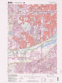
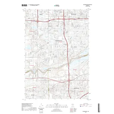
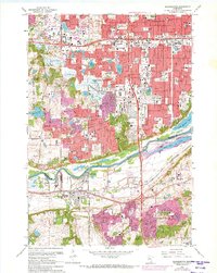
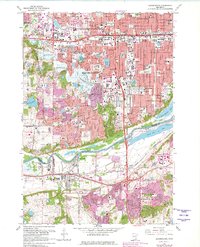
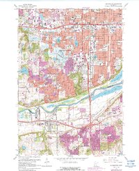
Editions of this 1967 Bloomington Map
5 editions found
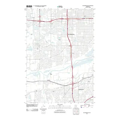
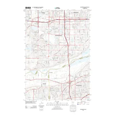
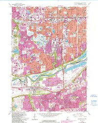
Historical Maps of Bloomington Through Time
8 maps found