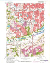
1967 Map of Bloomington
USGS Topo · Published 1973About this map
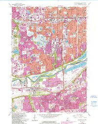
The Minnesota River valley serves as the defining geographic feature of this mid-century portrait, separating the burgeoning suburbs of Bloomington and Richfield from the growing communities of Burnsville and Savage to the south. The era’s expansion is visible in the dense network of new schools and parks, such as Kennedy High Sch and Humboldt Heights Sch, alongside major retail hubs like the Southtown Shopping Center. Local industrial and social landmarks are well-represented, from the riverfront operations at Port Cargill to the sprawling Minnesota Masonic Home grounds near the Bloomington Ferry site.
Find a feature on this map
108 named features on this map. Tap any name to fly to it.
Don’t see what you’re looking for? This feature index may not catch every label — zoom into the map to look around manually.
Map Details
Editions of this 1967 Bloomington Map
5 editions found
Other maps of this area

1896 · Minneapolis
USGS Topo · 1:62,500

1896 · St. Paul
USGS Topo · 1:62,500

1901 · Minneapolis
USGS Topo · 1:62,500

1951 · St. Paul West
USGS Topo · 1:24,000

1951 · St. Paul SW
USGS Topo · 1:24,000

1951 · St. Paul
USGS Topo · 1:62,500

1952 · Minneapolis South
USGS Topo · 1:24,000

1953 · Saint Paul
USGS Topo · 1:250,000

1954 · Hopkins
USGS Topo · 1:24,000

1954 · Bloomington
USGS Topo · 1:24,000