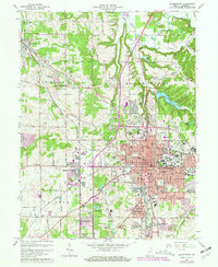
1966 Map of Bloomington
USGS Topo · Published 1981About this map
Indiana University anchors the eastern edge of this mid-century look at Monroe County, documenting the northward and westward expansion of Bloomington. The map reveals a transition from the dense urban core around the Courthouse and Po to suburban developments like Highland Village and West Brook Downs. Critical infrastructure of the 1960s is evident, including the Monroe County Airport in Van Buren township and the extensive network of the Illinois Central RR and L & N Rr which serviced local industries and quarries.
Find a feature on this map
79 named features on this map. Tap any name to fly to it.
Don’t see what you’re looking for? This feature index may not catch every label — zoom into the map to look around manually.
Map Details
Editions of this 1966 Bloomington Map
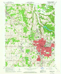
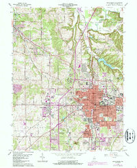
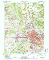
4 editions found
Other maps of this area

1908 · Bloomington
USGS Topo · 1:48,000

1910 · Bloomington
USGS Topo · 1:62,500

1942 · Franklin
USGS Topo · 1:125,000

1947 · Allens Creek
USGS Topo · 1:24,000

1947 · Unionville
USGS Topo · 1:24,000

1947 · Gosport
USGS Topo · 1:24,000

1948 · Hindustan
USGS Topo · 1:24,000

1950 · Gosport
USGS Topo · 1:24,000

1953 · Indianapolis
USGS Topo · 1:250,000

1956 · Indianapolis
USGS Topo · 1:250,000