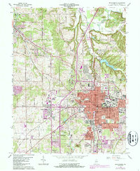
1966 Map of Bloomington
USGS Topo · Published 1987About this map
Bloomington serves as the focal point of this mid-century Indiana study, showcasing the city's significant expansion around the Indiana University Stadium and the core downtown Courthouse square. The map records the suburban shift of the 1960s, with emerging neighborhoods like Highland Village and Sunny Slopes appearing alongside established landmarks such as the Rose Hill Cemetery and Valhalla Memory Gardens. Industrial and transit history is evident in the path of the Illinois Central Railroad and the operational quarries scattered across the northern landscape near Arlington Heights. To the north, Beanblossom Creek meanders through the bottomlands, while the Griffy Reservoir and University Lake provide essential water infrastructure. This survey captures a specific era of growth before late-century modernization, preserving the locations of numerous schools like Dyer Jr High Sch and the original Monroe County Airport.
Find a feature on this map
76 named features on this map. Tap any name to fly to it.
Don’t see what you’re looking for? This feature index may not catch every label — zoom into the map to look around manually.
Map Details
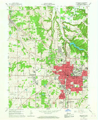
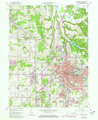
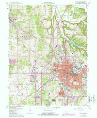
Editions of this 1966 Bloomington Map
4 editions found
Other maps of this area

1908 · Bloomington
USGS Topo · 1:48,000

1910 · Bloomington
USGS Topo · 1:62,500

1942 · Franklin
USGS Topo · 1:125,000

1947 · Allens Creek
USGS Topo · 1:24,000

1947 · Unionville
USGS Topo · 1:24,000

1947 · Gosport
USGS Topo · 1:24,000

1948 · Hindustan
USGS Topo · 1:24,000

1950 · Gosport
USGS Topo · 1:24,000

1953 · Indianapolis
USGS Topo · 1:250,000

1956 · Indianapolis
USGS Topo · 1:250,000