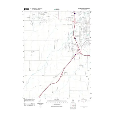
2012 Map of Bloomington West
USGS Topo · Published 2012About this map
Twin Grove and Bloomington Heights anchor the northwest and central portions of this landscape, representing the expanding suburban interface of McLean County in the early 21st century. The map reveals a high concentration of memorial sites concentrated near the urban center, including Saint Mary's Cem and Saint Joseph's Cem, while the outlying areas maintain a rural agricultural character. Transportation infrastructure is a dominant theme, with major interstate corridors intersecting near Miller Park Lake and Highland Park Golf Course. Further south, the small settlement of Shirley sits near the headwaters of Sugar Creek, providing a stark contrast to the modern developments of the north. The area's aviation history is visible through small-scale facilities like Pannier Flying Club Airport and Cottonwood Airport, which are interspersed among the drainages of Kings Mill Creek and Timber Creek.
Find a feature on this map
148 named features on this map. Tap any name to fly to it.
Don’t see what you’re looking for? This feature index may not catch every label — zoom into the map to look around manually.
Map Details
Editions of this 2012 Bloomington West Map
This is the sole edition of this map. No revisions or reprints were ever made.
Other maps of this area

1926 · Normal
USGS Topo · 1:62,500

1927 · Danvers
USGS Topo · 1:62,500

1930 · Danvers
USGS Topo · 1:62,500

1930 · Normal
USGS Topo · 1:62,500

1949 · Mc Lean
USGS Topo · 1:62,500

1951 · McLean
USGS Topo · 1:62,500

1951 · Le Roy
USGS Topo · 1:62,500

1958 · Peoria
USGS Topo · 1:250,000

1961 · Peoria
USGS Topo · 1:250,000

1963 · Peoria
USGS Topo · 1:250,000