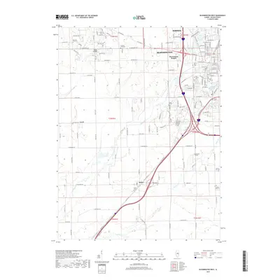
2018 Map of Bloomington West
USGS Topo · Published 2018About this map
Sugar Creek and Timber Creek flow through this section of McLean County, where the westward expansion of Bloomington and Normal meets the agricultural landscape of central Illinois. The map captures a high degree of cemetery detail, essential for genealogical research, including the Saint Mary's, Saint Joseph's, and Park Hill grounds near the urban center, along with the more isolated County Farm Cemetery and Grassy Ridge Cemetery to the south.
Find a feature on this map
71 named features on this map. Tap any name to fly to it.
Don’t see what you’re looking for? This feature index may not catch every label — zoom into the map to look around manually.
Map Details
Editions of this 2018 Bloomington West Map
This is the sole edition of this map. No revisions or reprints were ever made.
Other maps of this area

1926 · Normal
USGS Topo · 1:62,500

1927 · Danvers
USGS Topo · 1:62,500

1930 · Danvers
USGS Topo · 1:62,500

1930 · Normal
USGS Topo · 1:62,500

1949 · Mc Lean
USGS Topo · 1:62,500

1951 · McLean
USGS Topo · 1:62,500

1951 · Le Roy
USGS Topo · 1:62,500

1958 · Peoria
USGS Topo · 1:250,000

1961 · Peoria
USGS Topo · 1:250,000

1963 · Peoria
USGS Topo · 1:250,000