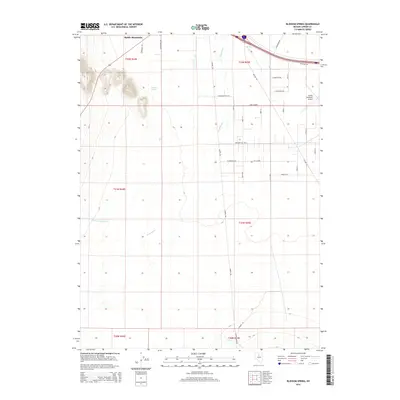
2014 Map of Blossom Spring
USGS Topo · Published 2014About this map
Blossom Spring and the surrounding high desert of Lander County are documented here during a period of modern infrastructure expansion. The landscape is defined by the winding course of the Reese River, which flows through a valley flanked by the prominent peaks of Battle Mountain. This survey illustrates the transition from traditional ranching lands, evidenced by features like Martin Ranch Rd, to modern aviation and transportation hubs such as the Battle Mountain Airport. A geometric grid of streets including James Madison Ave and Presidential Blvd sits in the shadows of the mountains, tracing the residential development of the area. Water remains a critical element of the local geography, with Little Cottonwood Cr and Lewis Cr providing essential drainage in this arid basin of the Great Basin region.
Find a feature on this map
38 named features on this map. Tap any name to fly to it.
Don’t see what you’re looking for? This feature index may not catch every label — zoom into the map to look around manually.
Map Details
Editions of this 2014 Blossom Spring Map
This is the sole edition of this map. No revisions or reprints were ever made.
Other maps of this area

1932 · Sonoma Range
USGS Topo · 1:250,000

1939 · Sonoma Range
USGS Topo · 1:250,000

1940 · Antler Peak
USGS Topo · 1:62,500

1943 · Antler Peak
USGS Topo · 1:62,500

1949 · Mt. Lewis
USGS Topo · 1:62,500

1950 · Mt. Lewis
USGS Topo · 1:62,500

1955 · Winnemucca
USGS Topo · 1:250,000

1957 · Battle Mountain
USGS Topo · 1:62,500

1958 · Winnemucca
USGS Topo · 1:250,000

1961 · McCoy
USGS Topo · 1:62,500