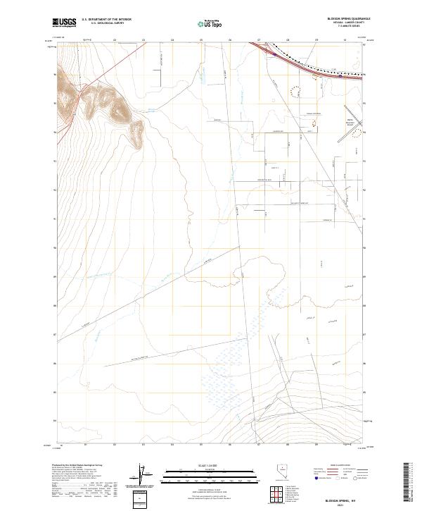
2021 Map of Blossom Spring
USGS Topo · Published 2021About this map
The Reese River meanders through this portion of Lander County, Nevada, defining a landscape where ranching roads and formal developments meet the high desert. Near the northern boundary, the Madison settlement area and Battle Mountain Airport indicate the modern infrastructure serving this interior basin. The map illustrates a structured grid of residential and connector streets with names of national figures, including Presidential Blvd, Millard Fillmore Ave, and J Monroe Ave, contrasting with the winding paths of natural waterways.
Find a feature on this map
27 named features on this map. Tap any name to fly to it.
Don’t see what you’re looking for? This feature index may not catch every label — zoom into the map to look around manually.
Map Details
Editions of this 2021 Blossom Spring Map
This is the sole edition of this map. No revisions or reprints were ever made.
Other maps of this area

1932 · Sonoma Range
USGS Topo · 1:250,000

1939 · Sonoma Range
USGS Topo · 1:250,000

1940 · Antler Peak
USGS Topo · 1:62,500

1943 · Antler Peak
USGS Topo · 1:62,500

1949 · Mt. Lewis
USGS Topo · 1:62,500

1950 · Mt. Lewis
USGS Topo · 1:62,500

1955 · Winnemucca
USGS Topo · 1:250,000

1957 · Battle Mountain
USGS Topo · 1:62,500

1958 · Winnemucca
USGS Topo · 1:250,000

1961 · McCoy
USGS Topo · 1:62,500