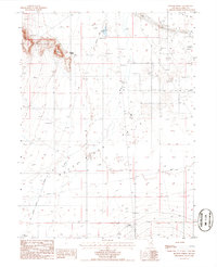
1985 Map of Blossom Spring
USGS Topo · Published 1986About this map
Old Calif Trail cuts across the northern edge of this landscape, marking a historic corridor of western migration through the Reese River Valley. The valley floor is defined by the wandering course of the Reese River, where the Marvel Ranch and various water sources like Blossom Spring and an Artesian Well provided essential points of relief in an arid environment. Human activity is evidenced by a mix of ranching, infrastructure, and extraction, with an Old Railroad Grade running north-south and several prospects and Mine Tunnels located in the higher elevations to the west.
Find a feature on this map
19 named features on this map. Tap any name to fly to it.
Don’t see what you’re looking for? This feature index may not catch every label — zoom into the map to look around manually.
Map Details
Editions of this 1985 Blossom Spring Map
This is the sole edition of this map. No revisions or reprints were ever made.
Other maps of this area

1932 · Sonoma Range
USGS Topo · 1:250,000

1939 · Sonoma Range
USGS Topo · 1:250,000

1940 · Antler Peak
USGS Topo · 1:62,500

1943 · Antler Peak
USGS Topo · 1:62,500

1949 · Mt. Lewis
USGS Topo · 1:62,500

1950 · Mt. Lewis
USGS Topo · 1:62,500

1955 · Winnemucca
USGS Topo · 1:250,000

1957 · Battle Mountain
USGS Topo · 1:62,500

1958 · Winnemucca
USGS Topo · 1:250,000

1961 · McCoy
USGS Topo · 1:62,500