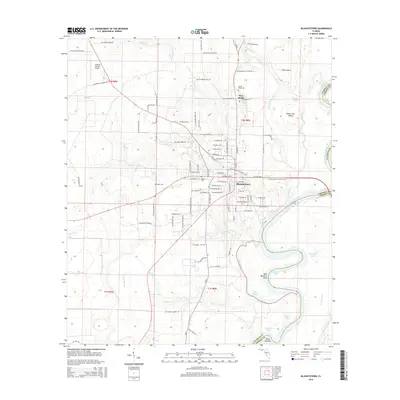
2015 Map of Blountstown
USGS Topo · Published 2015About this map
Blountstown serves as the focal point for this survey of the Florida panhandle, situated where the high ground of Peach Tree Ridge meets the intricate wetlands of the Apalachicola River basin. The landscape is defined by the river’s complex hydrology, featuring oxbows and floodplain lakes such as Gin House Lake, Wind Lake, and Outside Lake. North of the city, Pine Island and the Calhoun County Airport anchor the local infrastructure, while the Florida National Scenic Trail winds its way through the region.
Find a feature on this map
128 named features on this map. Tap any name to fly to it.
Don’t see what you’re looking for? This feature index may not catch every label — zoom into the map to look around manually.
Map Details
Editions of this 2015 Blountstown Map
This is the sole edition of this map. No revisions or reprints were ever made.
Other maps of this area

1944 · Clarksville
USGS Topo · 1:31,680

1945 · Blountstown
USGS Topo · 1:31,680

1945 · Clarksville
USGS Topo · 1:31,680

1945 · Estiffanulga
USGS Topo · 1:31,680

1945 · Bristol
USGS Topo · 1:31,680

1945 · Frink
USGS Topo · 1:31,680

1945 · Woods
USGS Topo · 1:31,680

1952 · Altha West
USGS Topo · 1:24,000

1952 · Altha East
USGS Topo · 1:24,000

1954 · Tallahassee
USGS Topo · 1:250,000