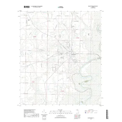
2018 Map of Blountstown
USGS Topo · Published 2018About this map
Blountstown serves as the focal point of this region, situated on the western bank of the Apalachicola River. The town's grid is defined by N Main St and Central Ave, with the local Lake Hilda providing a natural boundary to the southeast. The surrounding landscape is a complex network of wetlands and creeks, including Reedy Creek and Sutton Cr, which drain into the river system. To the north, the Calhoun County Airport stands as a modern infrastructure anchor, while numerous family-named roads like John F Bailey Rd and Buddy Clemmons Rd trace the rural expansion into the hinterlands.
Find a feature on this map
112 named features on this map. Tap any name to fly to it.
Don’t see what you’re looking for? This feature index may not catch every label — zoom into the map to look around manually.
Map Details
Editions of this 2018 Blountstown Map
This is the sole edition of this map. No revisions or reprints were ever made.
Other maps of this area

1944 · Clarksville
USGS Topo · 1:31,680

1945 · Blountstown
USGS Topo · 1:31,680

1945 · Clarksville
USGS Topo · 1:31,680

1945 · Estiffanulga
USGS Topo · 1:31,680

1945 · Bristol
USGS Topo · 1:31,680

1945 · Frink
USGS Topo · 1:31,680

1945 · Woods
USGS Topo · 1:31,680

1952 · Altha West
USGS Topo · 1:24,000

1952 · Altha East
USGS Topo · 1:24,000

1954 · Tallahassee
USGS Topo · 1:250,000