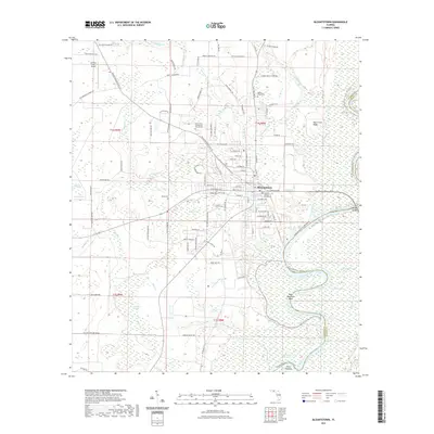
2021 Map of Blountstown
USGS Topo · Published 2021About this map
The Calhoun County Courthouse stands as the central landmark of Blountstown, where the local street grid transitions into the complex wetlands of the Panhandle. This area is defined by the massive meandering course of the Apalachicola River, which forms the eastern boundary between Calhoun and Liberty counties. The river's influence is evident in the numerous cutoff lakes and swampy lowlands, including The Bayou, Blue Lake, and Mud Swamp.
Find a feature on this map
113 named features on this map. Tap any name to fly to it.
Don’t see what you’re looking for? This feature index may not catch every label — zoom into the map to look around manually.
Map Details
Editions of this 2021 Blountstown Map
This is the sole edition of this map. No revisions or reprints were ever made.
Other maps of this area

1944 · Clarksville
USGS Topo · 1:31,680

1945 · Blountstown
USGS Topo · 1:31,680

1945 · Clarksville
USGS Topo · 1:31,680

1945 · Estiffanulga
USGS Topo · 1:31,680

1945 · Bristol
USGS Topo · 1:31,680

1945 · Frink
USGS Topo · 1:31,680

1945 · Woods
USGS Topo · 1:31,680

1952 · Altha West
USGS Topo · 1:24,000

1952 · Altha East
USGS Topo · 1:24,000

1954 · Tallahassee
USGS Topo · 1:250,000