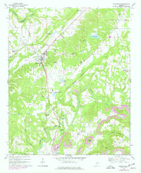
1969 Map of Blountsville
USGS Topo · Published 1978About this map
Blountsville Valley serves as the central corridor for this 1969 survey, where the town of Blountsville sits at the intersection of local history and rural development. The landscape is defined by the winding course of the Locust Fork river, which carves deep bends such as Blackwood Bend and Stevens Bend through the southern half of the quadrangle. High ground is marked by Hamilton Mountain and Berry Mountain, providing a topographic barrier that has shaped the placement of outlying communities like Liberty and Royal.
Find a feature on this map
49 named features on this map. Tap any name to fly to it.
Don’t see what you’re looking for? This feature index may not catch every label — zoom into the map to look around manually.
Map Details
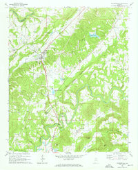
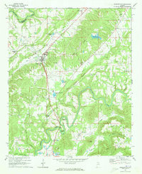
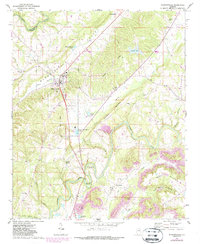
Editions of this 1969 Blountsville Map
4 editions found
Other maps of this area

1885 · Gadsden
USGS Topo · 1:125,000

1888 · Cullman
USGS Topo · 1:125,000

1888 · Gadsden
USGS Topo · 1:125,000

1889 · Springville
USGS Topo · 1:125,000

1889 · Birmingham
USGS Topo · 1:125,000

1892 · Cullman
USGS Topo · 1:125,000

1892 · Birmingham
USGS Topo · 1:125,000

1892 · Springville
USGS Topo · 1:125,000

1892 · Gadsden
USGS Topo · 1:125,000

1895 · Gadsden
USGS Topo · 1:125,000