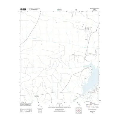
2012 Map of Bloxham
USGS Topo · Published 2012About this map
Jackson Bluff and the nearby settlement of Bloxham sit at a strategic crossing of the Ocklockonee River, where the Jackson Bluff Bridge links the eastern and western banks. The landscape is defined by the expansive waters of Lake Talquin, which dominates the southeastern quadrant of the map. Traces of early regional transit are visible in the path of the Old Federal Rd in the north, while the presence of the Ocklawaha Fire Tower and the Hosford Lookout Tower reflects the area's history of forest management and fire surveillance.
Find a feature on this map
48 named features on this map. Tap any name to fly to it.
Don’t see what you’re looking for? This feature index may not catch every label — zoom into the map to look around manually.
Map Details
Editions of this 2012 Bloxham Map
This is the sole edition of this map. No revisions or reprints were ever made.
Other maps of this area

1943 · Lake Talquin
USGS Topo · 1:62,500

1945 · Hosford
USGS Topo · 1:31,680

1945 · Telogia
USGS Topo · 1:24,000

1946 · Telogia
USGS Topo · 1:31,680

1954 · Tallahassee
USGS Topo · 1:250,000

1955 · Sycamore
USGS Topo · 1:24,000

1959 · Tallahassee
USGS Topo · 1:250,000

1959 · Gretna
USGS Topo · 1:24,000

1959 · Quincy
USGS Topo · 1:24,000

1960 · Tallahassee
USGS Topo · 1:250,000