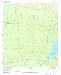
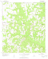
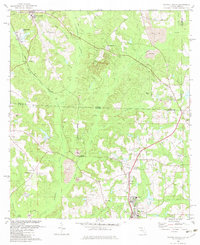
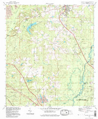
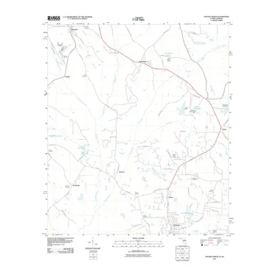
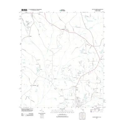
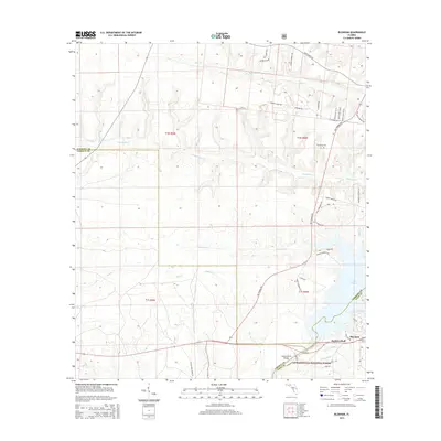
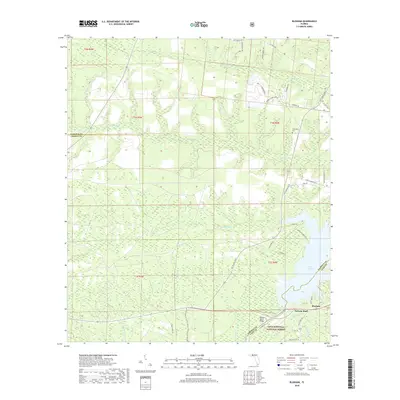
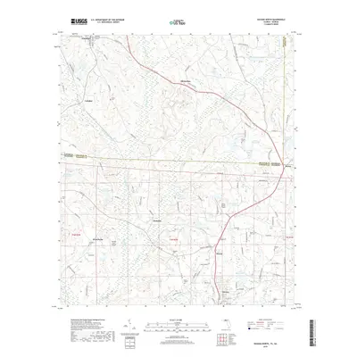
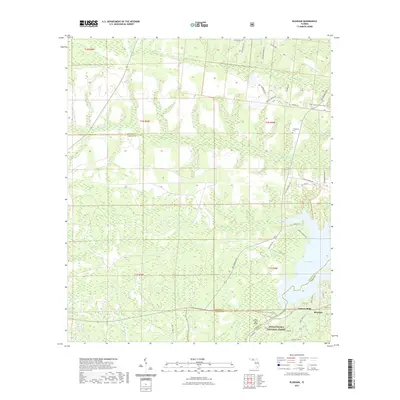
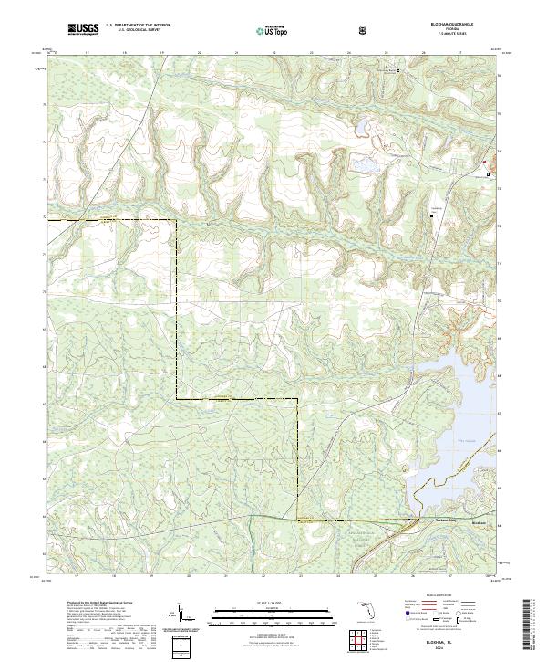
1972 Map of Bloxham
USGS Topo · Published 1986About this map
Lake Talquin dominates the eastern edge of this landscape, where the Ochlockonee River is harnessed for power near the settlement of Bloxham. The surrounding terrain is a mosaic of public lands and rural crossroads, marked by the expansive Apalachicola National Forest and the conserved reaches of Bear Creek State Park. The map documents a quiet, wooded interior punctuated by early social centers, including Bear Creek Church and Antioch Church, alongside the Friendship Cemetery.
Find a feature on this map
29 named features on this map. Tap any name to fly to it.
Don’t see what you’re looking for? This feature index may not catch every label — zoom into the map to look around manually.
Map Details
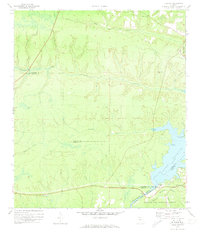
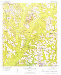
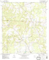
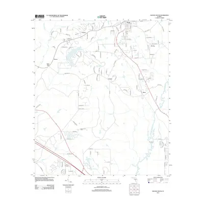
Editions of this 1972 Bloxham Map
2 editions found
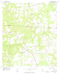
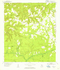
Historical Maps of Jackson Bluff Through Time
47 maps found
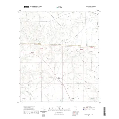
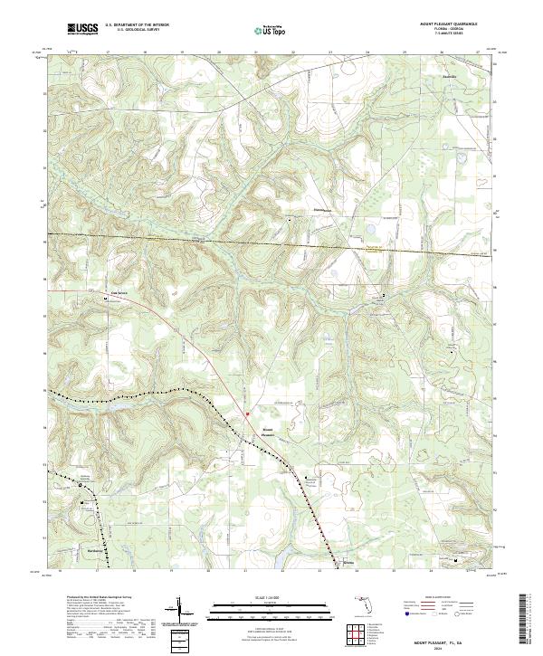
1955 Mt Pleasant
Gadsden County, FL
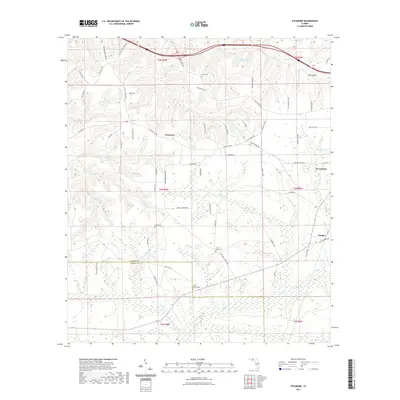
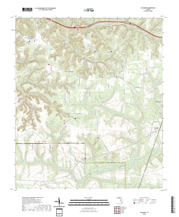
1955 Sycamore
Gadsden County, FL
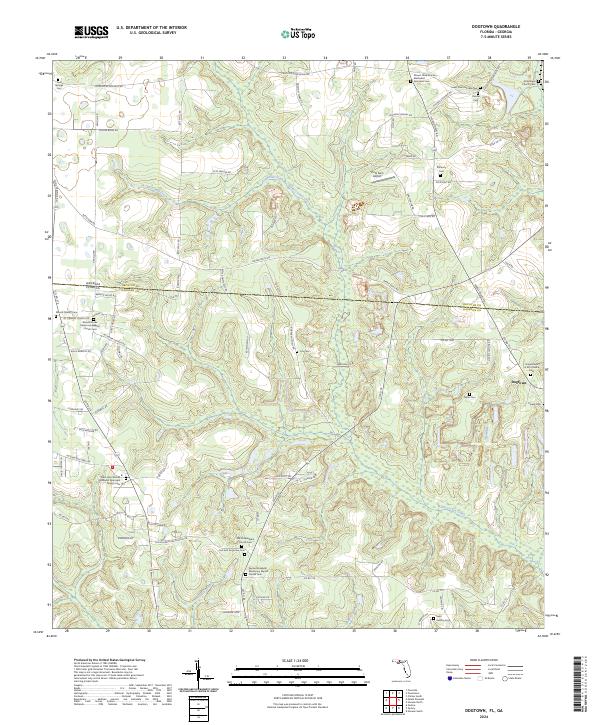
1956 Dogtown
Gadsden County, FL
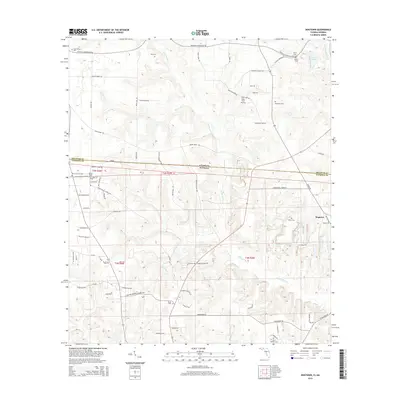
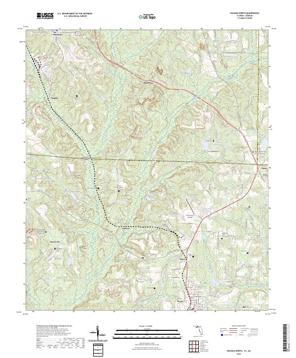
1956 Havana North
Gadsden County, FL
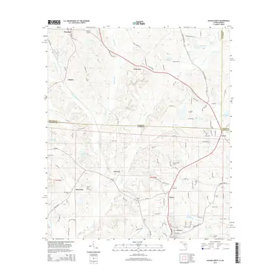
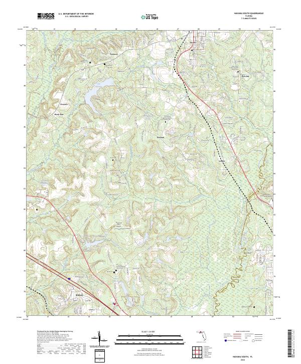
1963 Havana South
Gadsden County, FL
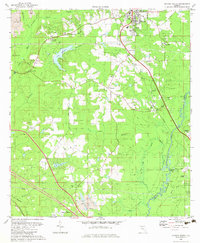
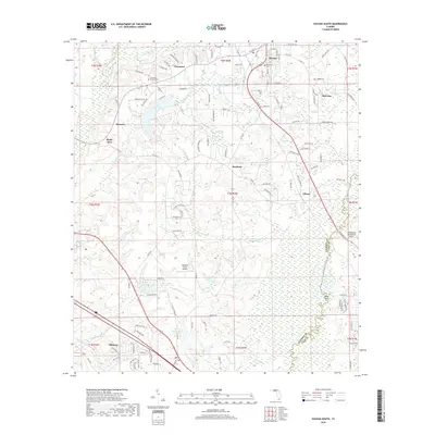
1972 Bloxham
Gadsden County, FL
1982 Dogtown
Gadsden County, FL
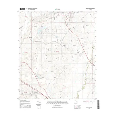
1982 Havana North
Gadsden County, FL
1982 Havana South
Gadsden County, FL
1982 Mt Pleasant
Gadsden County, FL
1982 Sycamore
Gadsden County, FL
1994 Havana South
Gadsden County, FL
1994 Mt Pleasant
Gadsden County, FL
1994 Sycamore
Gadsden County, FL
2011 Dogtown
Gadsden County, FL
2011 Havana North
Gadsden County, FL
2011 Mount Pleasant
Gadsden County, FL
2012 Bloxham
Gadsden County, FL
2012 Dogtown
Gadsden County, FL
2012 Havana North
Gadsden County, FL
2012 Havana South
Gadsden County, FL
2012 Mount Pleasant
Gadsden County, FL
2012 Sycamore
Gadsden County, FL
2015 Bloxham
Gadsden County, FL
2015 Dogtown
Gadsden County, FL
2015 Havana North
Gadsden County, FL
2015 Havana South
Gadsden County, FL
2015 Mount Pleasant
Gadsden County, FL
2015 Sycamore
Gadsden County, FL
2018 Bloxham
Gadsden County, FL
2018 Dogtown
Gadsden County, FL
2018 Havana North
Gadsden County, FL
2018 Havana South
Gadsden County, FL
2018 Mount Pleasant
Gadsden County, FL
2018 Sycamore
Gadsden County, FL
2021 Bloxham
Gadsden County, FL
2021 Dogtown
Gadsden County, FL
2021 Havana North
Gadsden County, FL
2021 Havana South
Gadsden County, FL
2021 Mount Pleasant
Gadsden County, FL
2021 Sycamore
Gadsden County, FL
2024 Bloxham
Gadsden County, FL
2024 Dogtown
Gadsden County, FL
2024 Havana North
Gadsden County, FL
2024 Havana South
Gadsden County, FL
2024 Mount Pleasant
Gadsden County, FL
2024 Sycamore
Gadsden County, FL