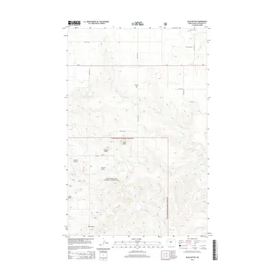
2014 Map of Blue Buttes
USGS Topo · Published 2014About this map
The Little Missouri National Grassland dominates this portion of McKenzie County, where the topography is defined by a series of prominent high points including Table Butte, Chimney Butte, and Stony Butte. This 2014 survey documents a landscape of energy extraction and remote ranch land, characterized by the Blue Buttes Oil and Gas Field and the Antelope Oil Field to the north. These industrial sites sit alongside the headwaters of Clarks Cr and the N Fork Clark Cr, highlighting the coexistence of resource development and conservation land.
Find a feature on this map
22 named features on this map. Tap any name to fly to it.
Don’t see what you’re looking for? This feature index may not catch every label — zoom into the map to look around manually.
Map Details
Editions of this 2014 Blue Buttes Map
This is the sole edition of this map. No revisions or reprints were ever made.
Other maps of this area

1953 · Williston
USGS Topo · 1:250,000

1953 · Watford City
USGS Topo · 1:250,000

1957 · Williston
USGS Topo · 1:250,000

1957 · Watford City
USGS Topo · 1:250,000

1965 · Keene
USGS Topo · 1:24,000

1965 · Johnsons Corner
USGS Topo · 1:24,000

1965 · Charlson
USGS Topo · 1:24,000

1965 · Blue Buttes
USGS Topo · 1:24,000

1965 · Charlson SW
USGS Topo · 1:24,000

1965 · Blue Buttes SE
USGS Topo · 1:24,000