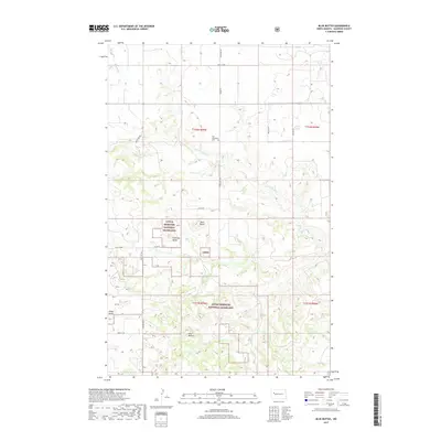
2017 Map of Blue Buttes
USGS Topo · Published 2017About this map
Little Missouri National Grassland dominates the landscape of this McKenzie County interior, where the high ground of the Blue Buttes overlooks a complex drainage system. The terrain is defined by isolated topographic rises, including Chimney Butte, Table Butte, and Stony Butte, which anchor the surrounding prairie. Evidence of the area's rural social fabric is found at Our Redeemer Cem, situated in the northern portion of the map.
Find a feature on this map
22 named features on this map. Tap any name to fly to it.
Don’t see what you’re looking for? This feature index may not catch every label — zoom into the map to look around manually.
Map Details
Editions of this 2017 Blue Buttes Map
This is the sole edition of this map. No revisions or reprints were ever made.
Other maps of this area

1953 · Williston
USGS Topo · 1:250,000

1953 · Watford City
USGS Topo · 1:250,000

1957 · Williston
USGS Topo · 1:250,000

1957 · Watford City
USGS Topo · 1:250,000

1965 · Keene
USGS Topo · 1:24,000

1965 · Johnsons Corner
USGS Topo · 1:24,000

1965 · Charlson
USGS Topo · 1:24,000

1965 · Blue Buttes
USGS Topo · 1:24,000

1965 · Charlson SW
USGS Topo · 1:24,000

1965 · Blue Buttes SE
USGS Topo · 1:24,000