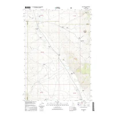
2017 Map of Blue Dome
USGS Topo · Published 2017About this map
Birch Creek Valley dominates this high-altitude landscape where the borders of Lemhi, Clark, and Butte counties converge. The drainage system is defined by the braided path of Birch Cr and the seasonal flow of Pass Cr, which carve through a network of rugged landforms such as Skull Canyon and Timber Canyon. Human settlement in this remote corridor is sparse, centered on the small locales of Blue Dome and Lone Pine. Cultural markers like the John Day Cem offer specific points of interest for genealogists tracing early families in the region. Much of the eastern portion of the map is protected within the Targhee National Forest, where topography rises sharply away from the valley floor. The placement of forest development roads, including Nat For Dev RD 172, suggests the ongoing importance of range and forest management in this sparsely populated interior of Idaho.
Find a feature on this map
36 named features on this map. Tap any name to fly to it.
Don’t see what you’re looking for? This feature index may not catch every label — zoom into the map to look around manually.
Map Details
Editions of this 2017 Blue Dome Map
This is the sole edition of this map. No revisions or reprints were ever made.
Other maps of this area

1955 · Dubois
USGS Topo · 1:250,000

1956 · Nicholia
USGS Topo · 1:62,500

1957 · Diamond Peak
USGS Topo · 1:62,500

1957 · Scott Peak
USGS Topo · 1:62,500

1958 · Dubois
USGS Topo · 1:250,000

1969 · Eightmile Canyon
USGS Topo · 1:24,000

1969 · Copper Mtn
USGS Topo · 1:24,000
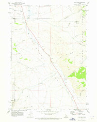
1969 · Blue Dome
USGS Topo · 1:24,000
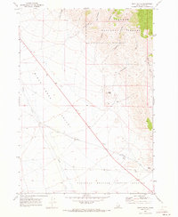
1969 · Scott Butte
USGS Topo · 1:24,000

1983 · Dubois
USGS Topo · 1:100,000