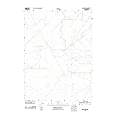
2012 Map of Blue Forest
USGS Topo · Published 2012About this map
Blue Forest characterizes this high desert landscape in Sweetwater County, an area defined by its geological interest and sparse human infrastructure. In 2012, the primary access points through this arid terrain were centered on 18 Mile Rd and Hunt Rd, which intersect near the center of the quadrangle. The map reveals an intricate network of drainage patterns and ephemeral streams typical of the Wyoming interior. While few permanent settlements are noted, the topography and road network provide a detailed look at the rural connectivity within the southwestern corner of the state, serving those interested in the remote geography of the region before further modern developments altered the surface.
Find a feature on this map
3 named features on this map. Tap any name to fly to it.
Don’t see what you’re looking for? This feature index may not catch every label — zoom into the map to look around manually.
Map Details
Editions of this 2012 Blue Forest Map
This is the sole edition of this map. No revisions or reprints were ever made.
Other maps of this area

1954 · Ogden
USGS Topo · 1:250,000

1954 · Rock Springs
USGS Topo · 1:250,000

1955 · Preston
USGS Topo · 1:250,000

1955 · Lander
USGS Topo · 1:250,000

1958 · Lander
USGS Topo · 1:250,000

1958 · Ogden
USGS Topo · 1:250,000

1958 · Rock Springs
USGS Topo · 1:250,000

1958 · Preston
USGS Topo · 1:250,000

1960 · Ogden
USGS Topo · 1:250,000

1961 · Lander
USGS Topo · 1:250,000