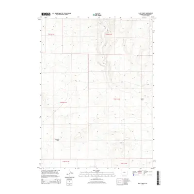
2015 Map of Blue Forest
USGS Topo · Published 2015About this map
Blue Forest characterizes this high-elevation terrain in Sweetwater County, where the landscape is defined by its drainage patterns and geologic incisions. The topography is marked by significant features like Buckhorn Canyon in the eastern portion and Fourmile Gulch to the west, illustrating the arid drainage systems typical of the Wyoming interior. This 2015 survey by the U.S. Geological Survey shows a largely open landscape punctuated by a sparse network of service routes including Hunt Rd and Cr-49. The map provides a technical view of the Public Land Survey System divisions, noting townships and ranges such as t24n r110w and t25n r111w, which are essential for land-use history and property research in this part of the state.
Find a feature on this map
11 named features on this map. Tap any name to fly to it.
Don’t see what you’re looking for? This feature index may not catch every label — zoom into the map to look around manually.
Map Details
Editions of this 2015 Blue Forest Map
This is the sole edition of this map. No revisions or reprints were ever made.
Other maps of this area

1954 · Ogden
USGS Topo · 1:250,000

1954 · Rock Springs
USGS Topo · 1:250,000

1955 · Preston
USGS Topo · 1:250,000

1955 · Lander
USGS Topo · 1:250,000

1958 · Lander
USGS Topo · 1:250,000

1958 · Ogden
USGS Topo · 1:250,000

1958 · Rock Springs
USGS Topo · 1:250,000

1958 · Preston
USGS Topo · 1:250,000

1960 · Ogden
USGS Topo · 1:250,000

1961 · Lander
USGS Topo · 1:250,000