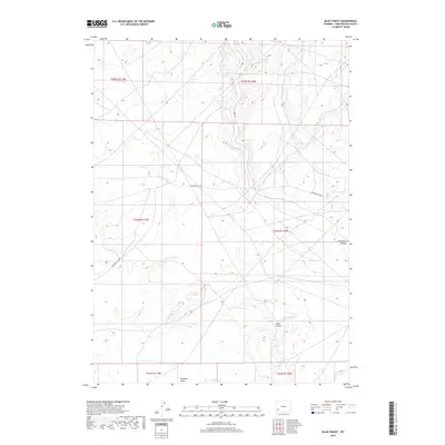
2017 Map of Blue Forest
USGS Topo · Published 2017About this map
Blue Forest characterizes this high-desert expanse of Sweetwater County, defined by a network of drainage features and sparse secondary roads. The landscape is marked by the deep cut of Buckhorn Canyon and the southern reaches of Fourmile Gulch, showing a territory largely shaped by hydraulic action over time. Surveyed during the late 2010s, the map reveals a remote area primarily accessible via utilitarian routes like Eighteen Mile Rd and Hunt Rd. The grid of Public Land Survey System townships, including t24n r110w, underscores the vast, open nature of this Wyoming interior where natural landforms rather than human settlements dictate the geography.
Find a feature on this map
11 named features on this map. Tap any name to fly to it.
Don’t see what you’re looking for? This feature index may not catch every label — zoom into the map to look around manually.
Map Details
Editions of this 2017 Blue Forest Map
This is the sole edition of this map. No revisions or reprints were ever made.
Other maps of this area

1954 · Ogden
USGS Topo · 1:250,000

1954 · Rock Springs
USGS Topo · 1:250,000

1955 · Preston
USGS Topo · 1:250,000

1955 · Lander
USGS Topo · 1:250,000

1958 · Lander
USGS Topo · 1:250,000

1958 · Ogden
USGS Topo · 1:250,000

1958 · Rock Springs
USGS Topo · 1:250,000

1958 · Preston
USGS Topo · 1:250,000

1960 · Ogden
USGS Topo · 1:250,000

1961 · Lander
USGS Topo · 1:250,000