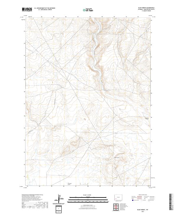
2021 Map of Blue Forest
USGS Topo · Published 2021About this map
The high plains of Sweetwater County are centered here at Blue Forest, an area characterized by its distinct drainage patterns and high-desert terrain. This 2021 topographic record reveals a landscape defined more by its natural topography and service roads than by dense settlement. The map tracks the winding descent of Buckhorn Canyon in the eastern section and the cut of Fourmile Gulch to the south. Transportation in this arid region relies on established corridors like Eighteen Mile Rd and Hunt Rd, which provide access through the vast public land survey sections. This map serves as a modern baseline for the area's geography, illustrating how the grid of township and range boundaries interacts with the physical reality of the Wyoming landscape.
Find a feature on this map
11 named features on this map. Tap any name to fly to it.
Don’t see what you’re looking for? This feature index may not catch every label — zoom into the map to look around manually.
Map Details
Editions of this 2021 Blue Forest Map
This is the sole edition of this map. No revisions or reprints were ever made.
Other maps of this area

1954 · Ogden
USGS Topo · 1:250,000

1954 · Rock Springs
USGS Topo · 1:250,000

1955 · Preston
USGS Topo · 1:250,000

1955 · Lander
USGS Topo · 1:250,000

1958 · Lander
USGS Topo · 1:250,000

1958 · Ogden
USGS Topo · 1:250,000

1958 · Rock Springs
USGS Topo · 1:250,000

1958 · Preston
USGS Topo · 1:250,000

1960 · Ogden
USGS Topo · 1:250,000

1961 · Lander
USGS Topo · 1:250,000