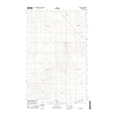
2017 Map of Blue Hill
USGS Topo · Published 2017About this map
Blue Hill and the surrounding high plains of Richland County are defined by a complex network of seasonal drainages and local landmarks. This landscape is dissected by several named waterways including E Hardscrabble Cr, Antelope Cr, and S Fork Cherry Cr, which carve through the terrain to create features like Cherry Coulee. The area’s sparse human footprint is marked by long-established sites of local significance, notably the Lone Butte Cem situated near the prominent Lone Butte landmark and the Cherry Creek Cem further north.
Find a feature on this map
27 named features on this map. Tap any name to fly to it.
Don’t see what you’re looking for? This feature index may not catch every label — zoom into the map to look around manually.
Map Details
Editions of this 2017 Blue Hill Map
This is the sole edition of this map. No revisions or reprints were ever made.
Other maps of this area

1909 · Glendive
USGS Topo · 1:250,000

1954 · Glendive
USGS Topo · 1:250,000

1954 · Wolf Point
USGS Topo · 1:250,000

1957 · Glendive
USGS Topo · 1:250,000

1958 · Wolf Point
USGS Topo · 1:250,000

1958 · Glendive
USGS Topo · 1:250,000

1969 · Cedar Coulee
USGS Topo · 1:24,000

1969 · Three Buttes
USGS Topo · 1:24,000

1969 · Dugout Creek
USGS Topo · 1:24,000

1972 · Brorson
USGS Topo · 1:24,000