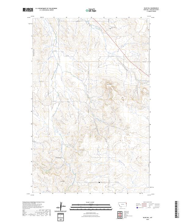
2024 Map of Blue Hill
USGS Topo · Published 2024About this map
Blue Hill rises above the dissected landscape of western Richland County, where a network of seasonal drainages and coulees defines the high plains. This 2024 survey captures the rural character of the Big Sky country, revealing a landscape etched by East Hardscrabble Creek and Antelope Creek. For genealogists and local historians, the presence of the Cherry Creek Cem in the north and the Lone Butte Cem near the southern boundary provides vital clues to the area's pioneer heritage and the families who settled this region. The land is organized by an extensive grid of county roads, such as Co RD 137 and Co RD 338, which follow the section lines of the Public Land Survey System. Prominent landmarks like Lone Butte serve as orientation points amidst the winding paths of Buckley Creek and Main Hay Creek, illustrating the remote ranching and agricultural environment of modern-day Montana.
Find a feature on this map
27 named features on this map. Tap any name to fly to it.
Don’t see what you’re looking for? This feature index may not catch every label — zoom into the map to look around manually.
Map Details
Editions of this 2024 Blue Hill Map
This is the sole edition of this map. No revisions or reprints were ever made.
Other maps of this area

1909 · Glendive
USGS Topo · 1:250,000

1954 · Glendive
USGS Topo · 1:250,000

1954 · Wolf Point
USGS Topo · 1:250,000

1957 · Glendive
USGS Topo · 1:250,000

1958 · Wolf Point
USGS Topo · 1:250,000

1958 · Glendive
USGS Topo · 1:250,000

1969 · Cedar Coulee
USGS Topo · 1:24,000

1969 · Three Buttes
USGS Topo · 1:24,000

1969 · Dugout Creek
USGS Topo · 1:24,000

1972 · Brorson
USGS Topo · 1:24,000