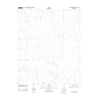
2012 Map of Blue Hole Springs
USGS Topo · Published 2012About this map
Blue Hole Springs serves as a critical water source in this corner of the Texas Panhandle, feeding the narrow drainage of Blue Hole Cr. The landscape is defined by the sharp transition from level high-plains terrain to the deeply eroded breaks of the Red River watershed, evidenced by features like Dutch Canyon and the dramatic drop-off known as the Koogle Jump-Off. This 2012 survey illustrates the intersection of natural hydrology and cattle-ranching infrastructure, with Plains Corral situated near the intersection of Co Rd 25 and Romeo Rd.
Find a feature on this map
17 named features on this map. Tap any name to fly to it.
Don’t see what you’re looking for? This feature index may not catch every label — zoom into the map to look around manually.
Map Details
Editions of this 2012 Blue Hole Springs Map
This is the sole edition of this map. No revisions or reprints were ever made.
Other maps of this area

1954 · Amarillo
USGS Topo · 1:250,000

1954 · Plainview
USGS Topo · 1:250,000

1958 · Amarillo
USGS Topo · 1:250,000

1958 · Plainview
USGS Topo · 1:250,000

1960 · Claude
USGS Topo · 1:62,500

1960 · Groom
USGS Topo · 1:62,500

1963 · Blue Hole Springs
USGS Topo · 1:24,000

1963 · Buffalo Arroyo
USGS Topo · 1:24,000

1963 · Luttrell Springs NE
USGS Topo · 1:24,000

1963 · Paloduro
USGS Topo · 1:24,000