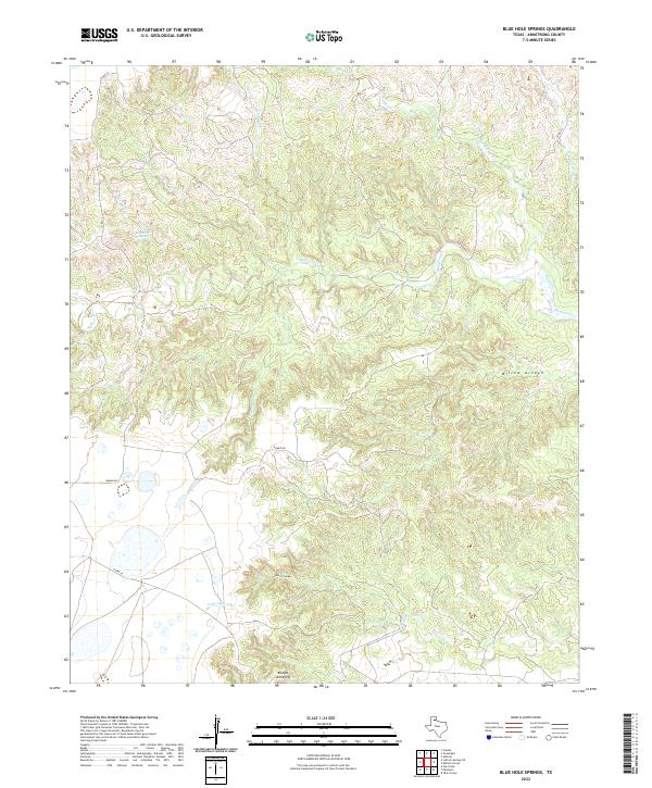
2022 Map of Blue Hole Springs
USGS Topo · Published 2022About this map
Blue Hole Springs serves as a focal point for this section of the Texas Panhandle, where the high plains break into a complex network of drainage basins. The landscape is defined by the headwaters and tributaries of several prominent local waterways, most notably the winding course of Mulberry Cr and the deeply incised Dutch Canyon. These geographical features reveal the erosion-driven topography of Armstrong County, where landmarks like the Koogle Jump-Off mark sudden changes in elevation.
Find a feature on this map
18 named features on this map. Tap any name to fly to it.
Don’t see what you’re looking for? This feature index may not catch every label — zoom into the map to look around manually.
Map Details
Editions of this 2022 Blue Hole Springs Map
This is the sole edition of this map. No revisions or reprints were ever made.
Other maps of this area

1954 · Amarillo
USGS Topo · 1:250,000

1954 · Plainview
USGS Topo · 1:250,000

1958 · Amarillo
USGS Topo · 1:250,000

1958 · Plainview
USGS Topo · 1:250,000

1960 · Claude
USGS Topo · 1:62,500

1960 · Groom
USGS Topo · 1:62,500

1963 · Blue Hole Springs
USGS Topo · 1:24,000

1963 · Buffalo Arroyo
USGS Topo · 1:24,000

1963 · Luttrell Springs NE
USGS Topo · 1:24,000

1963 · Paloduro
USGS Topo · 1:24,000