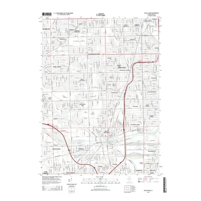
2015 Map of Blue Island
USGS Topo · Published 2015About this map
Chicago's southern neighborhoods and neighboring suburbs are defined by a landscape of extensive cemeteries and industrial waterways in this 2015 record. Large burial grounds like Saint Marys Cem, Evergreen Cem, and Mount Greenwood Cem occupy significant acreage, serving as vital landmarks for genealogists and local historians. The terrain is notably influenced by the Blue Island Ridge, a geological feature that historically provided higher ground amidst the surrounding wetlands.
Find a feature on this map
70 named features on this map. Tap any name to fly to it.
Don’t see what you’re looking for? This feature index may not catch every label — zoom into the map to look around manually.
Map Details
Editions of this 2015 Blue Island Map
This is the sole edition of this map. No revisions or reprints were ever made.
Other maps of this area

1889 · Chicago
USGS Topo · 1:62,500

1890 · Des Plaines
USGS Topo · 1:62,500

1891 · Chicago
USGS Topo · 1:62,500

1891 · Riverside
USGS Topo · 1:62,500

1892 · Calumet
USGS Topo · 1:62,500

1893 · Calumet
USGS Topo · 1:62,500

1893 · Riverside
USGS Topo · 1:62,500

1894 · Des Plaines
USGS Topo · 1:62,500

1900 · Chicago
USGS Topo · 1:62,500

1900 · Des Plaines
USGS Topo · 1:62,500