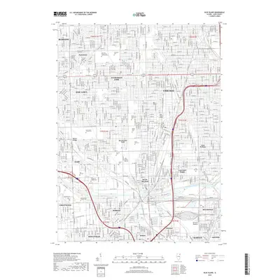
2018 Map of Blue Island
USGS Topo · Published 2018About this map
Blue Island and its surrounding Chicago suburbs are defined by a dense concentration of cemeteries and significant transportation corridors. This 2018 survey reveals a landscape where extensive memorial grounds like Saint Mary Catholic Cem and Mausoleums, Evergreen Cem, and Saint Casimir Catholic Cem occupy large portions of the terrain, particularly north of the Calumet Sag Channel. The elevation of the Blue Island Ridge provides a distinct geographical break in the otherwise flat grid, influencing the local settlement patterns of Chicago neighborhoods and adjacent cities like Evergreen Park and Oak Lawn. South of the channel, the industry and infrastructure of Robbins, Posen, and Harvey are prominently displayed, alongside natural areas like Kickapoo Meadows near Dolton. The intricate Metra rail lines and major thoroughfares such as the Jesse L Jackson Pkwy illustrate the region's enduring role as a transit hub.
Find a feature on this map
63 named features on this map. Tap any name to fly to it.
Don’t see what you’re looking for? This feature index may not catch every label — zoom into the map to look around manually.
Map Details
Editions of this 2018 Blue Island Map
This is the sole edition of this map. No revisions or reprints were ever made.
Other maps of this area

1889 · Chicago
USGS Topo · 1:62,500

1890 · Des Plaines
USGS Topo · 1:62,500

1891 · Chicago
USGS Topo · 1:62,500

1891 · Riverside
USGS Topo · 1:62,500

1892 · Calumet
USGS Topo · 1:62,500

1893 · Calumet
USGS Topo · 1:62,500

1893 · Riverside
USGS Topo · 1:62,500

1894 · Des Plaines
USGS Topo · 1:62,500

1900 · Chicago
USGS Topo · 1:62,500

1900 · Des Plaines
USGS Topo · 1:62,500