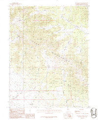
1986 Map of Blue Mass Canyon
USGS Topo · Published 1986About this map
The high elevations of the Kern Mountains dominate this mid-1980s provisional survey, revealing a landscape defined by isolated water sources and industrial extraction. The small settlement of Tungstonia serves as the focal point for mining activity in the southern reaches, surrounded by numerous Prospect markings, an Adit, and Tailings that indicate a history of subsurface exploration. This area is heavily dependent on a network of named water sources such as Blue Mass Spring and Loties Spring, which would have been critical for both livestock and the local mining operations.
Find a feature on this map
24 named features on this map. Tap any name to fly to it.
Don’t see what you’re looking for? This feature index may not catch every label — zoom into the map to look around manually.
Map Details
Editions of this 1986 Blue Mass Canyon Map
This is the sole edition of this map. No revisions or reprints were ever made.
Other maps of this area

1956 · Ely
USGS Topo · 1:250,000

1959 · Ely
USGS Topo · 1:250,000

1963 · Ely
USGS Topo · 1:250,000
1981 · Tippett Canyon
USGS Topo · 1:24,000
1981 · Weaver Canyon
USGS Topo · 1:24,000
1986 · Grass Valley Wash
USGS Topo · 1:24,000
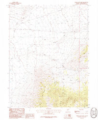
1986 · White Cloud Point
USGS Topo · 1:24,000
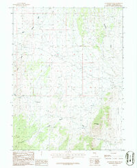
1986 · Government Peak
USGS Topo · 1:24,000
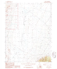
1986 · Tippett
USGS Topo · 1:24,000
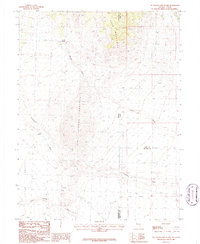
1986 · Tin Springs Mountain
USGS Topo · 1:24,000