
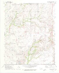
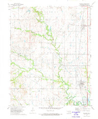
1972 Map of Blue Mound
USGS Topo · Published 1974About this map
The prominent summit of Blue Mound rises as a central landmark above the rolling landscape of eastern Oklahoma in the early 1970s. This survey area is defined by the heavy footprint of the energy and extraction industries, featuring an extensive network of Drill Holes, Oil Wells, and Gas Wells spread across labeled Oil Fields. The drainage patterns of Hogshooter Creek and Little California Creek carve through the terrain, while the Missouri - Kansas - Texas railroad line cuts across the northwestern corner, signaling the region's historical reliance on rail transport for its mineral and agricultural output.
Find a feature on this map
29 named features on this map. Tap any name to fly to it.
Don’t see what you’re looking for? This feature index may not catch every label — zoom into the map to look around manually.
Map Details
Editions of this 1972 Blue Mound Map
2 editions found
Other maps of this area

1901 · Nowata
USGS Topo · 1:125,000

1914 · Nowata
USGS Topo · 1:125,000

1954 · Tulsa
USGS Topo · 1:250,000

1958 · Tulsa
USGS Topo · 1:250,000

1963 · Tulsa
USGS Topo · 1:250,000
1971 · Bartlesville South
USGS Topo · 1:24,000
1971 · Bartlesville North
USGS Topo · 1:24,000
1972 · Elliott
USGS Topo · 1:24,000

1972 · Nowata West
USGS Topo · 1:24,000
1972 · Delaware
USGS Topo · 1:24,000