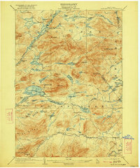
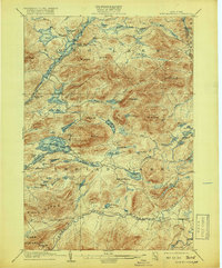
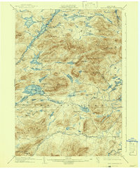
1903 Map of Blue Mountain
USGS Topo · Published 1922About this map
Blue Mountain Lake and the surrounding Adirondack wilderness appear here in a turn-of-the-century state, capturing the early development of this famed highland retreat. The map documents the primary transportation artery through the region, noting the steamboat routes that connected the waters of Long Lake and Raquette River to Utowana Lake and Eagle Lake. Small settlements like Deerland and Towahloondah represent the sparse population of this mountainous landscape, while the Forest House near Rock Lake suggests the era's growing focus on forestry and outdoor recreation.
Find a feature on this map
70 named features on this map. Tap any name to fly to it.
Don’t see what you’re looking for? This feature index may not catch every label — zoom into the map to look around manually.
Map Details
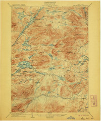
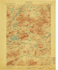
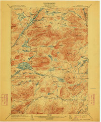
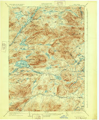
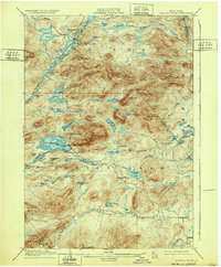
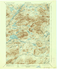
Editions of this 1903 Blue Mountain Map
11 editions found

1903 edition
16.6 x 20.1 inches
1906 edition
16.6 x 20 inches
1908 edition
16.6 x 20.1 inches
1912 edition
16.6 x 20.1 inches
1919 edition
16.6 x 20.1 inches
1922 edition
16.6 x 20 inches
1928 edition
16.6 x 20.1 inches
1932 edition
16.6 x 20.1 inches
1937 edition
16.6 x 20.1 inches
1942 edition
16.6 x 20.2 inches
1947 edition
17 x 20.9 inches
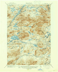
Other maps of this area

1898 · Newcomb
USGS Topo · 1:62,500

1898 · Thirteenth Lake
USGS Topo · 1:62,500

1899 · Indian Lake
USGS Topo · 1:62,500

1900 · Canada Lake
USGS Topo · 1:62,500

1901 · Newcomb
USGS Topo · 1:62,500

1902 · Indian Lake
USGS Topo · 1:62,500

1903 · West Canada Lakes
USGS Topo · 1:62,500

1903 · Raquette Lake
USGS Topo · 1:62,500
1903 · Blue Mountain
USGS Topo · 1:62,500

1904 · Santanoni
USGS Topo · 1:62,500